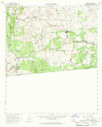
1959 Map of Campo
USGS Topo · Published 1966About this map
La Posta Indian Reservation and the Campo Indian Reservation occupy significant portions of this borderlands landscape, illustrating the proximity of indigenous lands to the international boundary. In the late 1950s, the southern edge of San Diego County was defined by a mix of ranching operations and small community clusters. Notable family-named sites like Miller Ranch, Coogan Ranch, and the Rancho del Campo underscore the area's agricultural roots, while Morena Village and Tierra del Sol represent established rural settlements.
Find a feature on this map
65 named features on this map. Tap any name to fly to it.
Don’t see what you’re looking for? This feature index may not catch every label — zoom into the map to look around manually.
Map Details
Editions of this 1959 Campo Map
2 editions found
Other maps of this area

1903 · Cuyamaca
USGS Topo · 1:125,000

1904 · Southern California Sheet No. 2
USGS Topo · 1:250,000

1931 · Carrizo
USGS Topo · 1:125,000

1939 · Campo
USGS Topo · 1:62,500

1939 · Jacumba
USGS Topo · 1:62,500

1942 · Potrero
USGS Topo · 1:48,000

1942 · Campo
USGS Topo · 1:62,500

1942 · Carrizo Mtn
USGS Topo · 1:62,500

1942 · Jacumba
USGS Topo · 1:62,500

1942 · Cuyapaipe
USGS Topo · 1:62,500