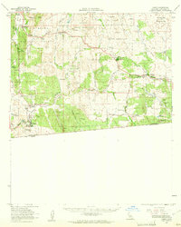
1959 Map of Campo
USGS Topo · Published 1961About this map
The San Diego and Arizona Eastern railroad winds through the Southern California backcountry in this 1959 survey, marking a vital transit corridor just north of the border. The settlement of Campo serves as a local hub, supported by the Campo Sch and nearby agricultural holdings like the Rancho del Campo and Castle Rock Ranch. The landscape is a mosaic of tribal lands, including the Campo Indian Reservation and La Posta Indian Reservation, alongside the protected acreage of the Cleveland National Forest.
Find a feature on this map
53 named features on this map. Tap any name to fly to it.
Don’t see what you’re looking for? This feature index may not catch every label — zoom into the map to look around manually.
Map Details
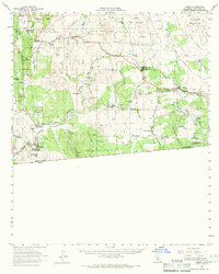
Editions of this 1959 Campo Map
2 editions found
Other maps of this area

1903 · Cuyamaca
USGS Topo · 1:125,000

1904 · Southern California Sheet No. 2
USGS Topo · 1:250,000

1931 · Carrizo
USGS Topo · 1:125,000

1939 · Campo
USGS Topo · 1:62,500

1939 · Jacumba
USGS Topo · 1:62,500

1942 · Potrero
USGS Topo · 1:48,000

1942 · Campo
USGS Topo · 1:62,500

1942 · Carrizo Mtn
USGS Topo · 1:62,500

1942 · Jacumba
USGS Topo · 1:62,500

1942 · Cuyapaipe
USGS Topo · 1:62,500