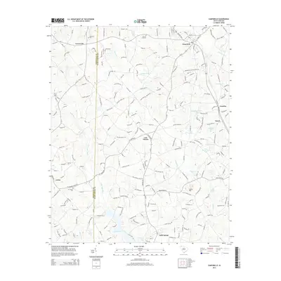
2014 Map of Campobello
USGS Topo · Published 2014About this map
The Greenville and Spartanburg County line bisects this landscape, marking a transition between the piedmont plateaus and the upper drainage systems of the Tyger River. Historically established communities like Campobello and Gowensville anchor the northern reaches, while the southern section is defined by the significant waters of Lyman Lake. This survey illustrates a dense network of country roads connecting small settlements such as Little Chicago and Holly Springs, reflecting the region's agricultural and rural residential development. The presence of numerous family and church burial grounds, including Pleasant Grove Cem and Mt Lebanon Cem, provides a detailed record of local genealogy. Water remains a central geographic feature, with the Middle Tyger River, N Tyger River, and S Pacolet River all flowing through the area, alongside smaller industrial and recreational landmarks like Gramling Number One Pond and Vaughn Pond.
Find a feature on this map
218 named features on this map. Tap any name to fly to it.
Don’t see what you’re looking for? This feature index may not catch every label — zoom into the map to look around manually.
Map Details
Editions of this 2014 Campobello Map
This is the sole edition of this map. No revisions or reprints were ever made.
Other maps of this area

1907 · Saluda
USGS Topo · 1:125,000

1935 · Greer
USGS Topo · 1:48,000

1935 · Greenville
USGS Topo · 1:48,000

1938 · Greenville
USGS Topo · 1:62,500

1938 · Greer
USGS Topo · 1:62,500

1954 · Greenville
USGS Topo · 1:250,000

1955 · Knoxville
USGS Topo · 1:250,000

1957 · Greer
USGS Topo · 1:62,500

1957 · Greenville
USGS Topo · 1:62,500

1957 · Knoxville
USGS Topo · 1:250,000