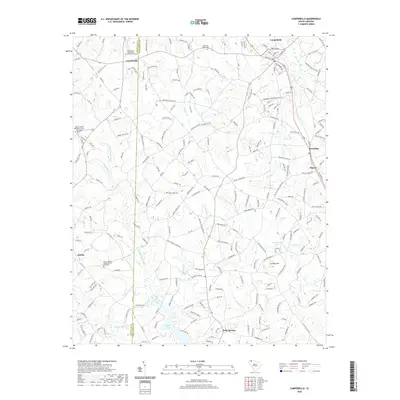
2020 Map of Campobello
USGS Topo · Published 2020About this map
Gowensville and Campobello anchor this part of the Upstate, where the Piedmont landscape is defined by the headwaters of several significant drainage systems. The Middle Tyger River and N Tyger River flow through the southern half of the area, feeding into Lyman Lake and Vaughn Pond. To the northeast, the S Pacolet River marks the beginning of a different watershed. The terrain is characterized by modest elevations like Collins Mtn, with a network of rural roads connecting small communities such as Gramling, Holly Springs, and Mascot.
Find a feature on this map
216 named features on this map. Tap any name to fly to it.
Don’t see what you’re looking for? This feature index may not catch every label — zoom into the map to look around manually.
Map Details
Editions of this 2020 Campobello Map
This is the sole edition of this map. No revisions or reprints were ever made.
Other maps of this area

1907 · Saluda
USGS Topo · 1:125,000

1935 · Greer
USGS Topo · 1:48,000

1935 · Greenville
USGS Topo · 1:48,000

1938 · Greenville
USGS Topo · 1:62,500

1938 · Greer
USGS Topo · 1:62,500

1954 · Greenville
USGS Topo · 1:250,000

1955 · Knoxville
USGS Topo · 1:250,000

1957 · Greer
USGS Topo · 1:62,500

1957 · Greenville
USGS Topo · 1:62,500

1957 · Knoxville
USGS Topo · 1:250,000