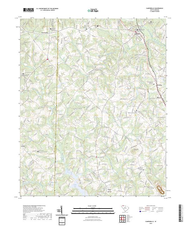
2024 Map of Campobello
USGS Topo · Published 2024About this map
Campobello serves as a central hub on this landscape, where the Norfolk Southern line connects it to nearby Gramling and Mascot. The area is defined by the headwaters and branches of several major regional river systems, including the South Pacolet River, Middle Tyger River, and North Tyger River, which carve through the terrain near landmarks like Collins Mtn.
Find a feature on this map
223 named features on this map. Tap any name to fly to it.
Don’t see what you’re looking for? This feature index may not catch every label — zoom into the map to look around manually.
Map Details
Editions of this 2024 Campobello Map
This is the sole edition of this map. No revisions or reprints were ever made.
Other maps of this area

1907 · Saluda
USGS Topo · 1:125,000

1935 · Greer
USGS Topo · 1:48,000

1935 · Greenville
USGS Topo · 1:48,000

1938 · Greenville
USGS Topo · 1:62,500

1938 · Greer
USGS Topo · 1:62,500

1954 · Greenville
USGS Topo · 1:250,000

1955 · Knoxville
USGS Topo · 1:250,000

1957 · Greer
USGS Topo · 1:62,500

1957 · Greenville
USGS Topo · 1:62,500

1957 · Knoxville
USGS Topo · 1:250,000