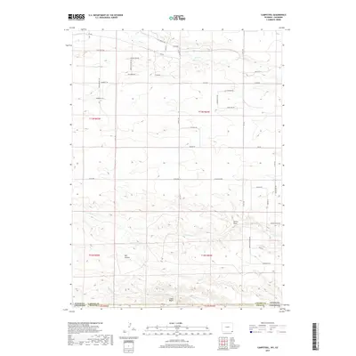
2017 Map of Campstool
USGS Topo · Published 2017About this map
Chalk Bluffs and the deeply incised drainages of the High Plains define this borderland region where the High Plains drop away toward the South Platte basin. The landscape is marked by the small settlement of Campstool and a network of pastoral ranching roads with names reflecting the local heritage, such as Wagon Wheel Way, Remington Ranch Rd, and K2 Ranch Rd.
Find a feature on this map
46 named features on this map. Tap any name to fly to it.
Don’t see what you’re looking for? This feature index may not catch every label — zoom into the map to look around manually.
Map Details
Editions of this 2017 Campstool Map
This is the sole edition of this map. No revisions or reprints were ever made.
Other maps of this area

1908 · Eaton
USGS Topo · 1:125,000

1910 · Eaton
USGS Topo · 1:125,000

1911 · Cheyenne
USGS Topo · 1:125,000

1914 · Cheyenne
USGS Topo · 1:125,000

1954 · Cheyenne
USGS Topo · 1:250,000

1954 · Greeley
USGS Topo · 1:250,000

1957 · Greeley
USGS Topo · 1:250,000

1958 · Cheyenne
USGS Topo · 1:250,000

1958 · Greeley
USGS Topo · 1:250,000

1961 · Greeley
USGS Topo · 1:250,000