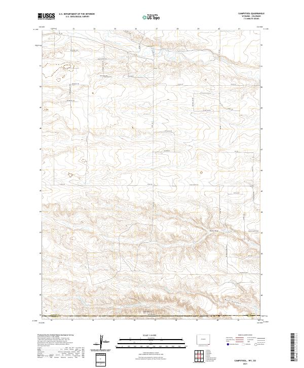
2021 Map of Campstool
USGS Topo · Published 2021About this map
Campstool sits at the northern end of this high plains landscape, situated along the upper reaches of Crow Cr just north of the Colorado-Wyoming border. The terrain is defined by a series of south-draining watercourses and draws, including Porter Draw and Porter Creek, which cut through the open rangeland. To the south, the topography drops toward the Chalk Bluffs and Bull Canyon, marking the transition across the state line into Weld County, Colorado. The network of modern ranch roads and trails, such as K2 Ranch Rd and Sunbright Trl, suggests a contemporary landscape of large parcels and rural residential development. The naming of routes like Missile Rd reflects the area's strategic location relative to regional defense infrastructure, while family-named thoroughfares like Remington Ranch Rd hint at the local ranching heritage that continues to shape this borderland.
Find a feature on this map
40 named features on this map. Tap any name to fly to it.
Don’t see what you’re looking for? This feature index may not catch every label — zoom into the map to look around manually.
Map Details
Editions of this 2021 Campstool Map
This is the sole edition of this map. No revisions or reprints were ever made.
Other maps of this area

1908 · Eaton
USGS Topo · 1:125,000

1910 · Eaton
USGS Topo · 1:125,000

1911 · Cheyenne
USGS Topo · 1:125,000

1914 · Cheyenne
USGS Topo · 1:125,000

1954 · Cheyenne
USGS Topo · 1:250,000

1954 · Greeley
USGS Topo · 1:250,000

1957 · Greeley
USGS Topo · 1:250,000

1958 · Cheyenne
USGS Topo · 1:250,000

1958 · Greeley
USGS Topo · 1:250,000

1961 · Greeley
USGS Topo · 1:250,000