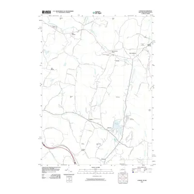
2010 Map of Canaan
USGS Topo · Published 2010About this map
Lebanon Springs and the surrounding valley communities of the Taconics are shown during a period of modern rural stability. The landscape is defined by the winding course of Wyomanock Creek and its various branches, which historically powered the local economy. This 2010 survey highlights several significant local history markers, including the Cemetery of the Evergreens and the Cornwall-Tilden Cemetery, providing valuable data for genealogists. The recreational and institutional character of the area is represented by the Lebanon Valley Speedway in the northwest and the Berkshire Farm for Boys near Queechy Lake. Notable terrain features like Rattlesnake Den and The Knob overlook a network of old roads such as Shaker Rd and Schoolhouse Rd, tracing the paths of early settlement through Canaan and New Lebanon.
Find a feature on this map
88 named features on this map. Tap any name to fly to it.
Don’t see what you’re looking for? This feature index may not catch every label — zoom into the map to look around manually.
Map Details
Editions of this 2010 Canaan Map
This is the sole edition of this map. No revisions or reprints were ever made.
Other maps of this area

1888 · Berlin
USGS Topo · 1:62,500

1888 · Pittsfield
USGS Topo · 1:62,500

1890 · Pittsfield
USGS Topo · 1:62,500

1890 · Berlin
USGS Topo · 1:62,500

1893 · Troy
USGS Topo · 1:62,500

1893 · Pittsfield
USGS Topo · 1:62,500

1894 · Berlin
USGS Topo · 1:62,500

1894 · Pittsfield
USGS Topo · 1:62,500

1895 · Troy
USGS Topo · 1:62,500

1897 · Pittsfield
USGS Topo · 1:62,500