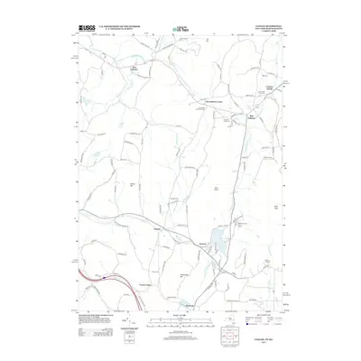
2013 Map of Canaan
USGS Topo · Published 2013About this map
Lebanon Springs and the surrounding hamlets of Columbia County anchor this early 21st-century landscape along the Massachusetts border. The terrain is defined by the valley of Wyomanock Cr and the waters of Queechy Lake, where established settlements like West Lebanon and New Lebanon reflect long-standing agricultural and residential patterns. Local genealogy is well-represented through several burial grounds, including the Cem of the Evergreens and Mott Cem.
Find a feature on this map
108 named features on this map. Tap any name to fly to it.
Don’t see what you’re looking for? This feature index may not catch every label — zoom into the map to look around manually.
Map Details
Editions of this 2013 Canaan Map
This is the sole edition of this map. No revisions or reprints were ever made.
Other maps of this area

1888 · Berlin
USGS Topo · 1:62,500

1888 · Pittsfield
USGS Topo · 1:62,500

1890 · Pittsfield
USGS Topo · 1:62,500

1890 · Berlin
USGS Topo · 1:62,500

1893 · Troy
USGS Topo · 1:62,500

1893 · Pittsfield
USGS Topo · 1:62,500

1894 · Berlin
USGS Topo · 1:62,500

1894 · Pittsfield
USGS Topo · 1:62,500

1895 · Troy
USGS Topo · 1:62,500

1897 · Pittsfield
USGS Topo · 1:62,500