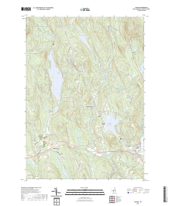
2024 Map of Canaan
USGS Topo · Published 2024About this map
The Mascoma River and Indian River valleys define the southern landscape of this Grafton County survey, where the village of Canaan sits as a primary hub. This area preserves a mix of conservation land and traditional New Hampshire settlement patterns, from the clustered homes of Canaan Street to the scattered farms near West Canaan. Large water bodies like Goose Pond and Canaan Street Lake dominate the central terrain, while the northern reaches transition into protected wilderness within the Silvio O Conte National Fish and Wildlife Refuge. High-elevation landmarks such as Sawyer Hill and Jones Hill offer structural variety to the drainage basins of Clark Pond Brook and Crystal Lake Brook. For those tracking regional transit and recreation, the Appalachian National Scenic Trail crosses the northwest corner, and the presence of Moore Airfield near the rail corridor highlights the intersection of modern and historic transportation routes.
Find a feature on this map
107 named features on this map. Tap any name to fly to it.
Don’t see what you’re looking for? This feature index may not catch every label — zoom into the map to look around manually.
Map Details
Editions of this 2024 Canaan Map
This is the sole edition of this map. No revisions or reprints were ever made.
Other maps of this area

1927 · Cardigan
USGS Topo · 1:62,500

1927 · Mascoma
USGS Topo · 1:62,500

1928 · Rumney
USGS Topo · 1:62,500

1930 · Cardigan
USGS Topo · 1:62,500

1931 · Mt. Cube
USGS Topo · 1:62,500

1932 · Mascoma
USGS Topo · 1:62,500

1932 · Rumney
USGS Topo · 1:62,500

1933 · Mt. Cube
USGS Topo · 1:62,500

1949 · Portland
USGS Topo · 1:250,000

1950 · Glens Falls
USGS Topo · 1:250,000