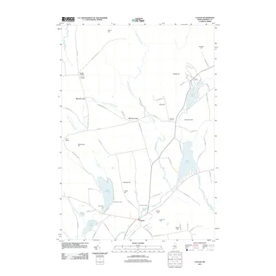
2011 Map of Canaan
USGS Topo · Published 2011About this map
Carrabassett Stream winds through the heart of this Somerset County landscape, anchoring the settlement of Canaan and its surrounding rural corners. This survey reflects a region defined by its diverse water bodies and namesake hills, where the Canaan Post Office serves as a central hub for a community spread across historic crossroads like Gould Corner and Browns Corner. The map captures a well-established pattern of local history, preserved in numerous family and community burial grounds including Fairview Cemetery, Slab City Cemetery, and Richards Cemetery.
Find a feature on this map
76 named features on this map. Tap any name to fly to it.
Don’t see what you’re looking for? This feature index may not catch every label — zoom into the map to look around manually.
Map Details
Editions of this 2011 Canaan Map
This is the sole edition of this map. No revisions or reprints were ever made.
Other maps of this area
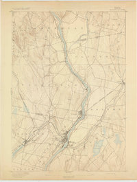
1892 · Waterville
USGS Topo · 1:62,500
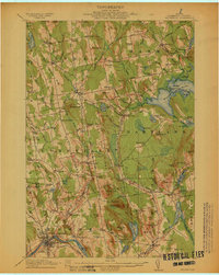
1913 · Skowhegan
USGS Topo · 1:62,500
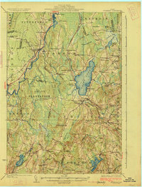
1926 · Burnham
USGS Topo · 1:62,500
1930 · Pittsfield
USGS Topo · 1:48,000
1932 · Pittsfield
USGS Topo · 1:62,500
1933 · Pittsfield
USGS Topo · 1:62,500
1943 · Waterville
USGS Topo · 1:62,500

1948 · Bangor
USGS Topo · 1:250,000
1955 · Pittsfield
USGS Topo · 1:62,500
1955 · Skowhegan
USGS Topo · 1:62,500