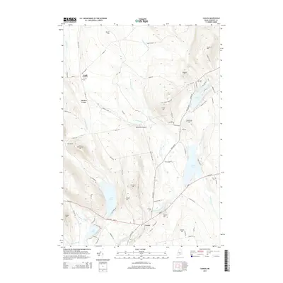
2014 Map of Canaan
USGS Topo · Published 2014About this map
The village of Canaan serves as the focal point of this Somerset County landscape, situated at the junction of the east-west Canaan Road and the Carrabassett Stream. The map reveals a cluster of rural hamlets, including Gould Corner, Mitchell Corner, and Browns Corner, which reflect the historic settlement patterns of the region. Local genealogy is well-documented through several burial grounds, such as Fairview Cem near the town center and the uniquely named Slab City Cem to the north.
Find a feature on this map
84 named features on this map. Tap any name to fly to it.
Don’t see what you’re looking for? This feature index may not catch every label — zoom into the map to look around manually.
Map Details
Editions of this 2014 Canaan Map
This is the sole edition of this map. No revisions or reprints were ever made.
Other maps of this area

1892 · Waterville
USGS Topo · 1:62,500

1913 · Skowhegan
USGS Topo · 1:62,500

1926 · Burnham
USGS Topo · 1:62,500

1930 · Pittsfield
USGS Topo · 1:48,000

1932 · Pittsfield
USGS Topo · 1:62,500

1933 · Pittsfield
USGS Topo · 1:62,500

1943 · Waterville
USGS Topo · 1:62,500

1948 · Bangor
USGS Topo · 1:250,000

1955 · Pittsfield
USGS Topo · 1:62,500

1955 · Skowhegan
USGS Topo · 1:62,500