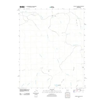
2010 Map of Canada Calladita
USGS Topo · Published 2010About this map
Tucker Ranch serves as a primary human landmark in this high-desert landscape within the Eastern Navajo Agency during the early 21st century. The terrain is defined by an intricate network of ephemeral watercourses and canyons, most notably the winding path of Arroyo Chico and the Cañada Calladita for which the quadrangle is named. Water management is central to the area's utility, evidenced by numerous livestock tanks and catchment features like Mud Flat Tank, Rattlesnake Tank, and E Montoya Dam Number Nine. Evidence of local industry and resource extraction appears at the B P Hovey Ranch Prospect and the County Line Pit. Transportation is facilitated by a mix of established routes such as Navajo Service Route 7004 and more localized paths like W Ant Hill Community Rd, reflecting the remote and rural character of this New Mexico region.
Find a feature on this map
33 named features on this map. Tap any name to fly to it.
Don’t see what you’re looking for? This feature index may not catch every label — zoom into the map to look around manually.
Map Details
Editions of this 2010 Canada Calladita Map
This is the sole edition of this map. No revisions or reprints were ever made.
Other maps of this area

1883 · Mt. Taylor
USGS Topo · 1:250,000

1886 · Mt. Taylor
USGS Topo · 1:250,000

1892 · Mt. Taylor
USGS Topo · 1:250,000

1899 · Mt. Taylor
USGS Topo · 1:250,000

1958 · Albuquerque
USGS Topo · 1:250,000

1961 · Cerro Parido
USGS Topo · 1:24,000

1961 · Mesita Del Gavilan
USGS Topo · 1:24,000

1961 · Arroyo Empedrado
USGS Topo · 1:24,000
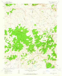
1961 · Canada Calladita
USGS Topo · 1:24,000
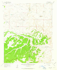
1961 · Tinian
USGS Topo · 1:24,000