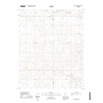
2020 Map of Canada Calladita
USGS Topo · Published 2020About this map
Arroyo Chico and the Torreon Wash drainage systems define this high-desert landscape in the Eastern Navajo Agency, where the county line between McKinley and Sandoval counties bisects the terrain. The map documents a sparse network of ranching infrastructure and seasonal water sources, including Cholla Tank, Mud Flat Tank, and Sand Column Tank. The settlement of Cañoncito sits at the southern edge of the quadrangle, serving as a focal point for the surrounding canyons and arroyos.
Find a feature on this map
31 named features on this map. Tap any name to fly to it.
Don’t see what you’re looking for? This feature index may not catch every label — zoom into the map to look around manually.
Map Details
Editions of this 2020 Canada Calladita Map
This is the sole edition of this map. No revisions or reprints were ever made.
Other maps of this area

1883 · Mt. Taylor
USGS Topo · 1:250,000

1886 · Mt. Taylor
USGS Topo · 1:250,000

1892 · Mt. Taylor
USGS Topo · 1:250,000

1899 · Mt. Taylor
USGS Topo · 1:250,000

1958 · Albuquerque
USGS Topo · 1:250,000

1961 · Cerro Parido
USGS Topo · 1:24,000

1961 · Mesita Del Gavilan
USGS Topo · 1:24,000

1961 · Arroyo Empedrado
USGS Topo · 1:24,000
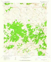
1961 · Canada Calladita
USGS Topo · 1:24,000
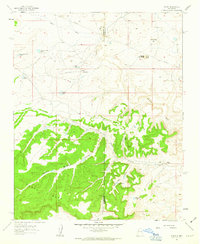
1961 · Tinian
USGS Topo · 1:24,000