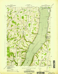
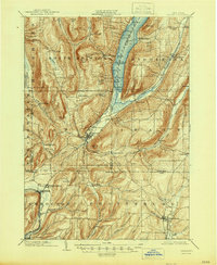
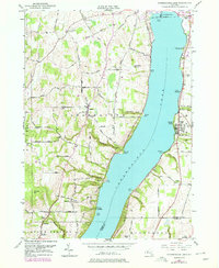
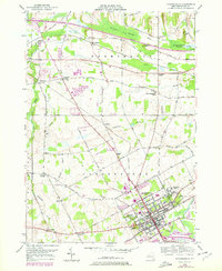
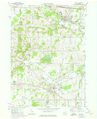
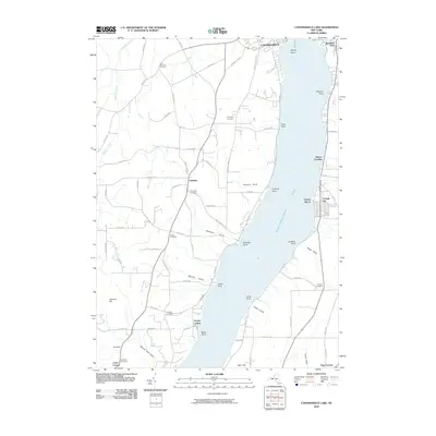
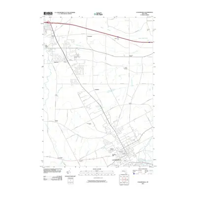
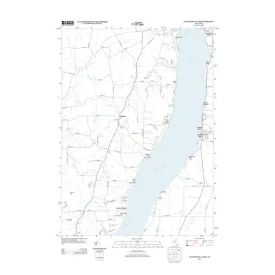
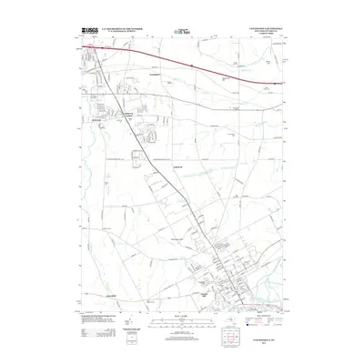
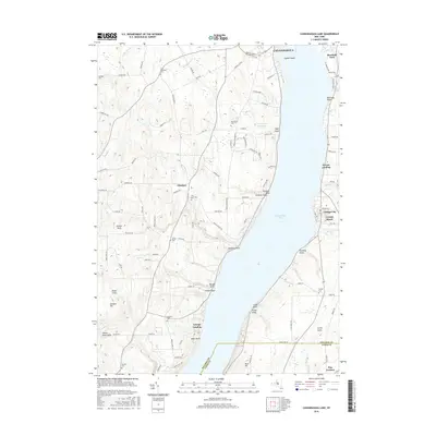
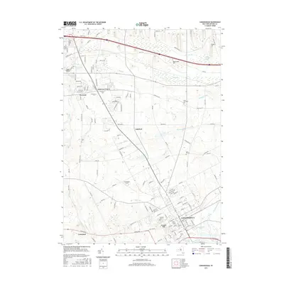
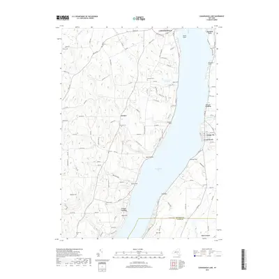
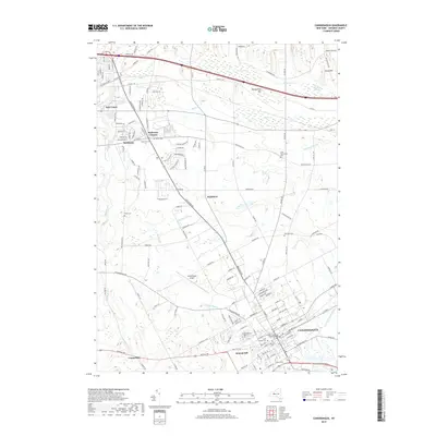
1942 Map of Canandaigua Lake
USGS Topo · Published 1942About this map
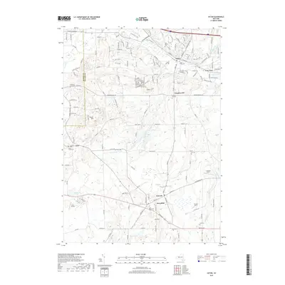
Canandaigua Lake dominates this 1942 topographical survey, which captures the Finger Lakes shoreline just as the mid-century leisure economy was taking shape. Waterside developments such as Crystal Beach and Cottage City appear alongside established landings like Greens Landing and Grange Landing. The map illustrates a landscape of deeply-etched points, including Menteth Pt, Tichenor Pt, and Foster Pt, which define the western shoreline below the city.
Find a feature on this map
65 named features on this map. Tap any name to fly to it.
Don’t see what you’re looking for? This feature index may not catch every label — zoom into the map to look around manually.
Map Details
Editions of this 1942 Canandaigua Lake Map
This is the sole edition of this map. No revisions or reprints were ever made.
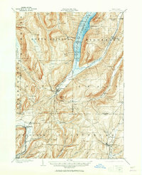
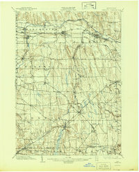
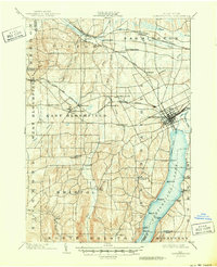
Historical Maps of Canandaigua Through Time
61 maps found

1900 Canandaigua
Ontario County, NY
1900 Naples
Ontario County, NY
1902 Phelps
Ontario County, NY
1903 Canandaigua
Ontario County, NY
1903 Naples
Ontario County, NY

1913 Naples
Ontario County, NY

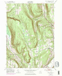
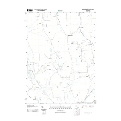
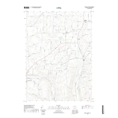
1942 Bristol Springs
Ontario County, NY
1942 Canandaigua Lake
Ontario County, NY
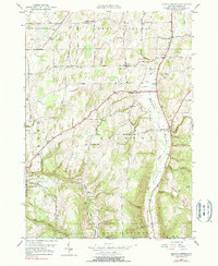
1942 Canandaigua
Ontario County, NY
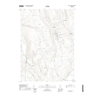
1942 Springwater
Ontario County, NY
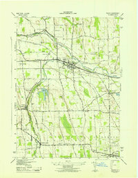
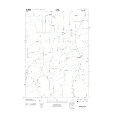
1942 Stanley
Ontario County, NY

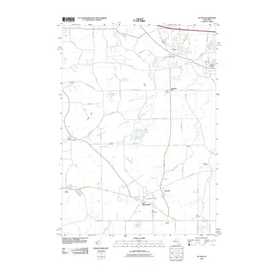
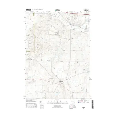
1942 Victor
Ontario County, NY
1943 Bristol Springs
Ontario County, NY
1943 Phelps
Ontario County, NY
1951 Bristol Center
Ontario County, NY
1951 Canandaigua Lake
Ontario County, NY
1951 Canandaigua
Ontario County, NY
1951 Victor
Ontario County, NY
1952 Stanley
Ontario County, NY
1953 Phelps
Ontario County, NY
1971 Victor
Ontario County, NY
2010 Bristol Center
Ontario County, NY
2010 Bristol Springs
Ontario County, NY
2010 Canandaigua Lake
Ontario County, NY
2010 Canandaigua
Ontario County, NY
2010 Phelps
Ontario County, NY
2010 Springwater
Ontario County, NY
2010 Stanley
Ontario County, NY
2010 Victor
Ontario County, NY
2013 Bristol Center
Ontario County, NY
2013 Bristol Springs
Ontario County, NY
2013 Canandaigua Lake
Ontario County, NY
2013 Canandaigua
Ontario County, NY
2013 Phelps
Ontario County, NY
2013 Springwater
Ontario County, NY
2013 Stanley
Ontario County, NY
2013 Victor
Ontario County, NY
2016 Bristol Center
Ontario County, NY
2016 Bristol Springs
Ontario County, NY
2016 Canandaigua Lake
Ontario County, NY
2016 Canandaigua
Ontario County, NY
2016 Phelps
Ontario County, NY
2016 Springwater
Ontario County, NY
2016 Stanley
Ontario County, NY
2016 Victor
Ontario County, NY
2019 Bristol Center
Ontario County, NY
2019 Bristol Springs
Ontario County, NY
2019 Canandaigua Lake
Ontario County, NY
2019 Canandaigua
Ontario County, NY
2019 Phelps
Ontario County, NY
2019 Springwater
Ontario County, NY
2019 Stanley
Ontario County, NY
2019 Victor
Ontario County, NY

2023 Bristol Center
Ontario County, NY

2023 Bristol Springs
Ontario County, NY

2023 Canandaigua Lake
Ontario County, NY

2023 Canandaigua
Ontario County, NY

2023 Phelps
Ontario County, NY

2023 Springwater
Ontario County, NY

2023 Stanley
Ontario County, NY

2023 Victor
Ontario County, NY