
1942 Map of Canandaigua
USGS Topo · Published 1942About this map
The city of Canandaigua serves as the focal point of this 1942 survey, showing the community just as the United States Veterans Administration Hospital and the lakefront Kershaw Park anchored the local landscape. The surrounding Ontario County countryside is marked by a network of rural hamlets and family-named intersections such as Ingleside Corners, Hathaway Corners, and McMillen Corners. This period reflects the lingering importance of the Lehigh Valley railroad and the Canandaigua Outlet in shaping the region's transport and drainage. Genealogists will find a wealth of local landmarks including numerous district schools like School No 6 and School No 11, alongside smaller burying grounds like Sand Hill Cem and Tilton Cem that record the early settlement patterns of Victor and Farmington.
Find a feature on this map
61 named features on this map. Tap any name to fly to it.
Don’t see what you’re looking for? This feature index may not catch every label — zoom into the map to look around manually.
Map Details
Editions of this 1942 Canandaigua Map
This is the sole edition of this map. No revisions or reprints were ever made.
Other maps of this area

1899 · Palmyra
USGS Topo · 1:62,500

1900 · Macedon
USGS Topo · 1:62,500

1900 · Canandaigua
USGS Topo · 1:62,500

1902 · Phelps
USGS Topo · 1:62,500

1902 · Palmyra
USGS Topo · 1:62,500

1903 · Canandaigua
USGS Topo · 1:62,500

1932 · Fairport
USGS Topo · 1:24,000

1934 · Fairport
USGS Topo · 1:24,000
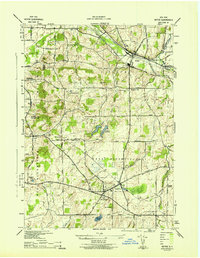
1942 · Victor
USGS Topo · 1:31,680
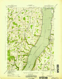
1942 · Canandaigua Lake
USGS Topo · 1:31,680