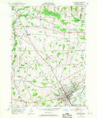
1951 Map of Canandaigua
USGS Topo · Published 1952About this map
Canandaigua serves as the hub of this 1951 survey, showing the city's residential and institutional footprint just before the mid-century era of expansion. The landscape is defined by the convergence of the Lehigh Valley and New York Central railroads, which facilitated the region's agricultural and industrial growth. Notable landmarks include the sprawling U S Veterans Hospital complex and the municipal Sewage Disposal works along the Canandaigua Outlet.
Find a feature on this map
64 named features on this map. Tap any name to fly to it.
Don’t see what you’re looking for? This feature index may not catch every label — zoom into the map to look around manually.
Map Details
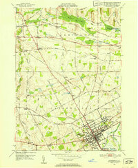
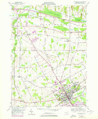
Editions of this 1951 Canandaigua Map
3 editions found
Other maps of this area

1899 · Palmyra
USGS Topo · 1:62,500

1900 · Macedon
USGS Topo · 1:62,500

1900 · Canandaigua
USGS Topo · 1:62,500

1902 · Phelps
USGS Topo · 1:62,500

1902 · Palmyra
USGS Topo · 1:62,500

1903 · Canandaigua
USGS Topo · 1:62,500

1932 · Fairport
USGS Topo · 1:24,000

1934 · Fairport
USGS Topo · 1:24,000
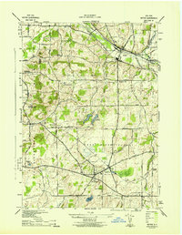
1942 · Victor
USGS Topo · 1:31,680

1942 · Canandaigua
USGS Topo · 1:31,680