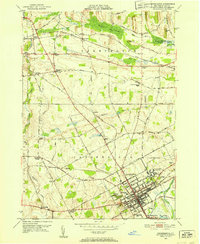
1951 Map of Canandaigua
USGS Topo · Published 1967About this map
Canandaigua serves as the focal point of this mid-century survey, showcasing a dense grid of streets and institutional landmarks just north of the lake. The city's northern edge is dominated by the sprawling U S Veterans Hospital and the adjacent U S Reservation, while the Canandaigua Outlet snakes southeast past Kershaw Park. A complex network of transit defines the rural hinterland, where the Lehigh Valley and New York Central railroads intersect near small settlements like Mertensia and Padelford. Genealogists will find significant value in the numerous family-named burial grounds and numbered rural schoolhouses, such as Hathaway Cem and School No 8, which are scattered across the township of Farmington. The map also captures curiously named local landmarks like Dead Man Curve and Buttermilk Hill, providing a detailed look at the agricultural and social landscape before modern suburban expansion.
Find a feature on this map
52 named features on this map. Tap any name to fly to it.
Don’t see what you’re looking for? This feature index may not catch every label — zoom into the map to look around manually.
Map Details
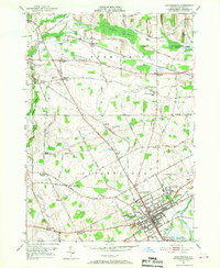
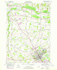
Editions of this 1951 Canandaigua Map
3 editions found
Other maps of this area

1899 · Palmyra
USGS Topo · 1:62,500

1900 · Macedon
USGS Topo · 1:62,500

1900 · Canandaigua
USGS Topo · 1:62,500

1902 · Phelps
USGS Topo · 1:62,500

1902 · Palmyra
USGS Topo · 1:62,500

1903 · Canandaigua
USGS Topo · 1:62,500

1932 · Fairport
USGS Topo · 1:24,000

1934 · Fairport
USGS Topo · 1:24,000
1942 · Victor
USGS Topo · 1:31,680

1942 · Canandaigua
USGS Topo · 1:31,680