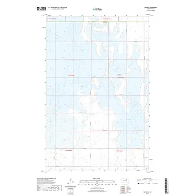
2020 Map of Cando SE
USGS Topo · Published 2020About this map
Lake Alice and Lake Irvine dominate this prairie wetland landscape, marking a significant hydrologic corridor on the boundary of Towner and Ramsey counties. The map captures a complex network of glacial lakes and marshy terrain, where water levels dictate the accessible landscape. Cultural markers are sparse in this rural expanse, but the Chain Lake Lutheran Cem serves as a vital point of reference for genealogical research, situated near the shores of Chain Lake. The road system, including Co Hwy 2 and Co Hwy 10, follows the rigid grid of the Public Land Survey System, navigating around the edges of Mikes Lake and the seasonally fluctuating Dry Lake. This survey illustrates the delicate balance of land use in a region defined by its North Dakota wetlands and dispersed agricultural holdings.
Find a feature on this map
28 named features on this map. Tap any name to fly to it.
Don’t see what you’re looking for? This feature index may not catch every label — zoom into the map to look around manually.
Map Details
Editions of this 2020 Cando SE Map
This is the sole edition of this map. No revisions or reprints were ever made.
Other maps of this area

1931 · Devils Lake
USGS Topo · 1:62,500

1932 · Grahams Island
USGS Topo · 1:62,500

1950 · Grahams Island
USGS Topo · 1:62,500

1950 · Devils Lake
USGS Topo · 1:62,500

1951 · Tilden
USGS Topo · 1:24,000

1951 · Grand Harbor
USGS Topo · 1:24,000

1951 · Penn
USGS Topo · 1:24,000

1953 · Devils Lake
USGS Topo · 1:250,000

1956 · Devils Lake
USGS Topo · 1:250,000

1957 · Cando SE
USGS Topo · 1:24,000