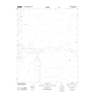
2012 Map of Cane Canyon
USGS Topo · Published 2012About this map
Kelso Peak and Skinner Peak anchor this high-desert landscape in Kern County, where seasonal drainages and vital water sources dictated the movement of early travelers and settlers. The map shows a network of named springs, including Cochran Spring, Frog Spring, and Shoemaker Spring, which were essential landmarks in this arid region. The drainage of Kelso Cr defines the valley floor, flanked by the distinct elevations of Wyleys Knob and Rocky Point.
Find a feature on this map
29 named features on this map. Tap any name to fly to it.
Don’t see what you’re looking for? This feature index may not catch every label — zoom into the map to look around manually.
Map Details
Editions of this 2012 Cane Canyon Map
This is the sole edition of this map. No revisions or reprints were ever made.
Other maps of this area

1906 · Kernville
USGS Topo · 1:125,000

1908 · Kernville
USGS Topo · 1:125,000

1915 · Mojave
USGS Topo · 1:125,000

1943 · Cross Mountain
USGS Topo · 1:62,500

1943 · Emerald Mtn
USGS Topo · 1:62,500

1943 · Onyx
USGS Topo · 1:62,500

1943 · Isabella
USGS Topo · 1:62,500

1948 · Bakersfield
USGS Topo · 1:250,000

1955 · Bakersfield
USGS Topo · 1:250,000

1956 · Bakersfield
USGS Topo · 1:250,000