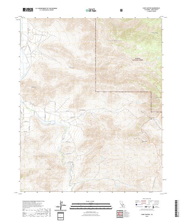
2022 Map of Cane Canyon
USGS Topo · Published 2022About this map
The Sierra Nevada and Piute Mountains converge in this high-altitude reach of Kern County, where the southern extent of the Sequoia National Forest dominates the northeastern landscape. The terrain is defined by steep ridges and canyons, most notably Cane Canyon and Cortez Canyon, which drain into the valley below. A network of primitive roads and residential streets, such as S Kelso Valley Rd and Janice Ave, provides access to the western flats along Kelso Creek, where small-scale settlement persists. The high ground is traversed by the Pacific Crest National Scenic Trl, which winds past prominent summits like Skinner Peak and Wyleys Knob. This area serves as a critical water source for the arid environment, evidenced by scattered water points including Cochran Spring, Frog Spring, and Shoemaker Spring, which supported the early ranching and transit history of the region.
Find a feature on this map
46 named features on this map. Tap any name to fly to it.
Don’t see what you’re looking for? This feature index may not catch every label — zoom into the map to look around manually.
Map Details
Editions of this 2022 Cane Canyon Map
This is the sole edition of this map. No revisions or reprints were ever made.
Other maps of this area

1906 · Kernville
USGS Topo · 1:125,000

1908 · Kernville
USGS Topo · 1:125,000

1915 · Mojave
USGS Topo · 1:125,000

1943 · Cross Mountain
USGS Topo · 1:62,500

1943 · Emerald Mtn
USGS Topo · 1:62,500

1943 · Onyx
USGS Topo · 1:62,500

1943 · Isabella
USGS Topo · 1:62,500

1948 · Bakersfield
USGS Topo · 1:250,000

1955 · Bakersfield
USGS Topo · 1:250,000

1956 · Bakersfield
USGS Topo · 1:250,000