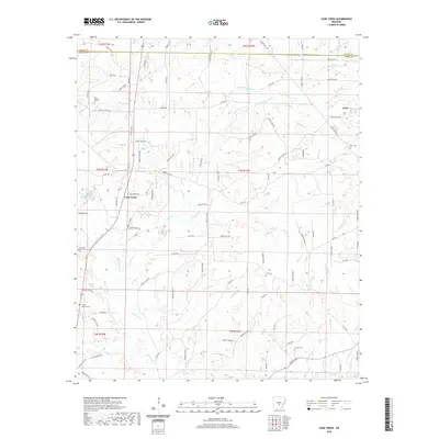
2020 Map of Cane Creek
USGS Topo · Published 2020About this map
Cane Creek and the settlement of Orion anchor this Grant County landscape, where the northern boundary meets the line for Saline County. The area is defined by a dense network of watercourses, including the notable Campbell Bayou in the northeast and the winding path of Hurricane Cr. This 2020 map documents the modern road network, from the corridor of Old Hwy 167 and Blackwell Rd to numerous forest service routes like Forest Rd 9935. Genealogists and local historians will find significant value in the distribution of family and community landmarks, such as Gum Springs Cem, Orion Cem, and Jackson Cem. The terrain is characterized by numerous small branches such as Tollman Br and Twomile Br, illustrating the intricate drainage patterns of this Arkansas timber and creek country.
Find a feature on this map
113 named features on this map. Tap any name to fly to it.
Don’t see what you’re looking for? This feature index may not catch every label — zoom into the map to look around manually.
Map Details
Editions of this 2020 Cane Creek Map
This is the sole edition of this map. No revisions or reprints were ever made.
Other maps of this area

1891 · Little Rock
USGS Topo · 1:125,000

1893 · Little Rock
USGS Topo · 1:125,000

1932 · Pastoria
USGS Topo · 1:62,500

1935 · Alexander
USGS Topo · 1:48,000

1935 · Pastoria
USGS Topo · 1:62,500

1940 · Woodson
USGS Topo · 1:31,680

1941 · Alexander
USGS Topo · 1:62,500

1944 · Spring Lake
USGS Topo · 1:31,680

1944 · Bryant
USGS Topo · 1:31,680
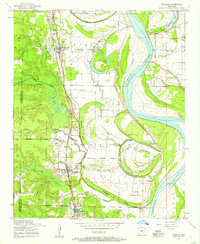
1954 · Woodson
USGS Topo · 1:24,000