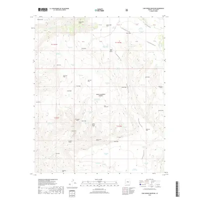
2018 Map of Cane Springs Mountain
USGS Topo · Published 2018About this map
The Mogollon Rim forms a dramatic southern boundary for this portion of the Tonto National Forest, where the landscape is defined by deep incisions like The Gorge carved by the E Verde River. This terrain is characterized by a sophisticated network of stock tanks and springs, including Hieroglyphic Tanks, Cane Spring, and Big Spring, essential infrastructure for ranching in the arid Arizona uplands. The Arizona National Scenic Trail traverses the central section, winding past Saddle Ridge and through the high country between Hardscrabble Canyon and the Rock Canyon. To the west, the topographic profile includes distinctive landmarks such as Twin Buttes and the steep descent into Hells Hole, illustrating the complex drainage patterns feeding into the river system below the rim.
Find a feature on this map
67 named features on this map. Tap any name to fly to it.
Don’t see what you’re looking for? This feature index may not catch every label — zoom into the map to look around manually.
Map Details
Editions of this 2018 Cane Springs Mountain Map
This is the sole edition of this map. No revisions or reprints were ever made.
Other maps of this area

1887 · Verde
USGS Topo · 1:250,000

1892 · Verde
USGS Topo · 1:250,000

1929 · Turret Peak
USGS Topo · 1:125,000

1933 · Turret Peak
USGS Topo · 1:125,000

1934 · Pine
USGS Topo · 1:62,500

1936 · Payson
USGS Topo · 1:48,000

1940 · Pine
USGS Topo · 1:62,500

1942 · Payson
USGS Topo · 1:62,500

1952 · Pine
USGS Topo · 1:62,500

1954 · Holbrook
USGS Topo · 1:250,000