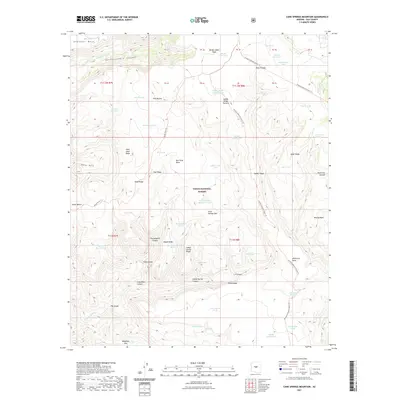
2021 Map of Cane Springs Mountain
USGS Topo · Published 2021About this map
Tonto National Forest land dominates this high-altitude landscape, defined by the towering presence of Cane Springs Mtn and the southern edge of the Mogollon Rim. The topography is characterized by deep drainage systems like Hardscrabble Canyon and Indian Spring Canyon, which channel water toward The Gorge. Evidence of ancient or historical importance is found in names like Hieroglyphic Canyon and Hieroglyphic Tanks, located south of Hells Neck Ridge.
Find a feature on this map
75 named features on this map. Tap any name to fly to it.
Don’t see what you’re looking for? This feature index may not catch every label — zoom into the map to look around manually.
Map Details
Editions of this 2021 Cane Springs Mountain Map
This is the sole edition of this map. No revisions or reprints were ever made.
Other maps of this area

1887 · Verde
USGS Topo · 1:250,000

1892 · Verde
USGS Topo · 1:250,000

1929 · Turret Peak
USGS Topo · 1:125,000

1933 · Turret Peak
USGS Topo · 1:125,000

1934 · Pine
USGS Topo · 1:62,500

1936 · Payson
USGS Topo · 1:48,000

1940 · Pine
USGS Topo · 1:62,500

1942 · Payson
USGS Topo · 1:62,500

1952 · Pine
USGS Topo · 1:62,500

1954 · Holbrook
USGS Topo · 1:250,000