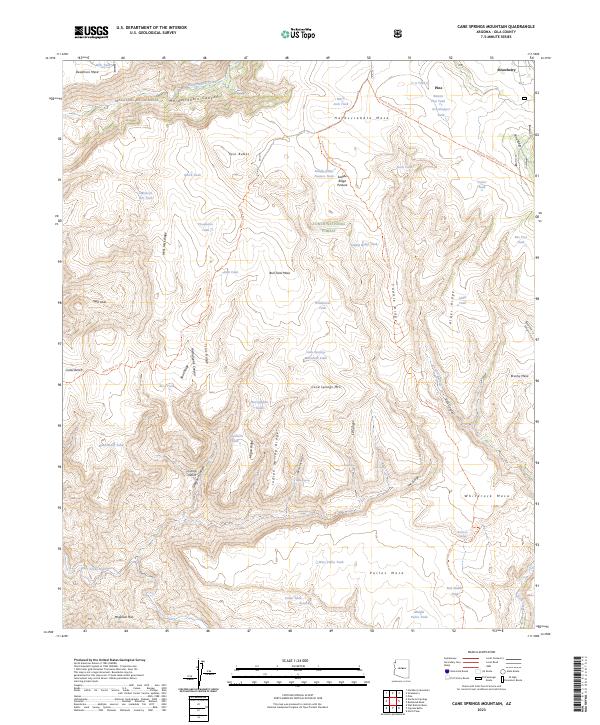
2023 Map of Cane Springs Mountain
USGS Topo · Published 2023About this map
Pine and Strawberry sit at the northeastern edge of this mountain landscape, marking the primary settlements in a region defined by dramatic elevation changes along the Mogollon Rim. The area is largely protected within the Tonto National Forest and the Mazatzal Wilderness, where a network of trails like the Arizona National Scenic Trl and Verde River Trl navigate through complex terrain. Numerous stock tanks, including Black Jack Tank and Plowbeam Tank, suggest a land used for seasonal grazing despite its steep ridges and deep canyons.
Find a feature on this map
77 named features on this map. Tap any name to fly to it.
Don’t see what you’re looking for? This feature index may not catch every label — zoom into the map to look around manually.
Map Details
Editions of this 2023 Cane Springs Mountain Map
This is the sole edition of this map. No revisions or reprints were ever made.
Other maps of this area

1887 · Verde
USGS Topo · 1:250,000

1892 · Verde
USGS Topo · 1:250,000

1929 · Turret Peak
USGS Topo · 1:125,000

1933 · Turret Peak
USGS Topo · 1:125,000

1934 · Pine
USGS Topo · 1:62,500

1936 · Payson
USGS Topo · 1:48,000

1940 · Pine
USGS Topo · 1:62,500

1942 · Payson
USGS Topo · 1:62,500

1952 · Pine
USGS Topo · 1:62,500

1954 · Holbrook
USGS Topo · 1:250,000