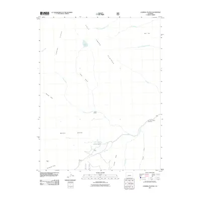
2011 Map of Cannibal Plateau
USGS Topo · Published 2011About this map
Cannibal Plateau and the adjacent Calf Creek Plateau dominate this high-altitude landscape in the Colorado mountains. The terrain is defined by dramatic geological features, most notably the massive Slumgullion Slide at the southern edge and the steep descent of Devils Canyon. Water sources are sparse but significant, including the perched Devils Lake and the Deer Lakes cluster, which serves as a focal point for recreation at the Deer Lakes Campground.
Find a feature on this map
25 named features on this map. Tap any name to fly to it.
Don’t see what you’re looking for? This feature index may not catch every label — zoom into the map to look around manually.
Map Details
Editions of this 2011 Cannibal Plateau Map
This is the sole edition of this map. No revisions or reprints were ever made.
Other maps of this area

1903 · Lake City
USGS Topo · 1:62,500

1905 · Lake City
USGS Topo · 1:62,500

1905 · San Cristobal
USGS Topo · 1:125,000

1907 · San Cristobal
USGS Topo · 1:125,000

1908 · Uncompahgre
USGS Topo · 1:125,000

1911 · Uncompahgre
USGS Topo · 1:125,000

1945 · Durango
USGS Topo · 1:250,000

1953 · Durango
USGS Topo · 1:250,000

1954 · Durango
USGS Topo · 1:250,000

1956 · Montrose
USGS Topo · 1:250,000