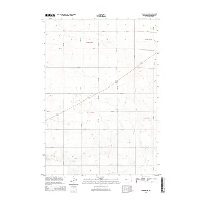
2015 Map of Canning NW
USGS Topo · Published 2015About this map
Mush Cr and the seasonal drainages of Dry Run wind through this section of Hughes County, defining the drainage patterns in a landscape structured by the Public Land Survey System. The map highlights the intersection of several townships, including t112n r78w, t112n r77w, t111n r78w, and t111n r77w, illustrating the precise grid of the American West. A network of rural section-line roads, such as 200th St and 207th St, provides the primary access across the rolling prairie. This 2015 data reflects the enduring agricultural layout of the region, where the topography of the creek beds and ephemeral runs remains the most prominent natural variation in an otherwise highly organized territorial grid.
Find a feature on this map
14 named features on this map. Tap any name to fly to it.
Don’t see what you’re looking for? This feature index may not catch every label — zoom into the map to look around manually.
Map Details
Editions of this 2015 Canning NW Map
This is the sole edition of this map. No revisions or reprints were ever made.
Other maps of this area

1924 · Pierre
USGS Topo · 1:62,500

1934 · Canning
USGS Topo · 1:48,000

1937 · Canning
USGS Topo · 1:62,500

1954 · Pierre
USGS Topo · 1:250,000

1958 · Pierre
USGS Topo · 1:250,000

1967 · Pierre NE
USGS Topo · 1:24,000

1967 · Canning
USGS Topo · 1:24,000

1967 · Onida SE
USGS Topo · 1:24,000

1967 · Onida SW
USGS Topo · 1:24,000
1967 · Canning NW
USGS Topo · 1:24,000