
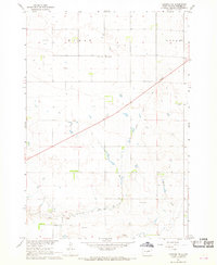
1967 Map of Onida SE
USGS Topo · Published 1968About this map
Logan and the surrounding plains of the Missouri River Basin appear here during a period of steady agricultural development in central South Dakota. The landscape is defined by the Chicago and North Western railroad corridor, which cuts north toward the small settlement of Eakin. Fine red dashed lines throughout the quadrangle indicate fence and field lines as they appeared during 1966 aerial photography, providing a precise record of mid-century land use and property divisions between Sully and Hughes Counties.
Find a feature on this map
8 named features on this map. Tap any name to fly to it.
Don’t see what you’re looking for? This feature index may not catch every label — zoom into the map to look around manually.
Map Details
Editions of this 1967 Onida SE Map
This is the sole edition of this map. No revisions or reprints were ever made.
Other maps of this area

1934 · Canning
USGS Topo · 1:48,000

1937 · Canning
USGS Topo · 1:62,500

1953 · Huron
USGS Topo · 1:250,000

1954 · Pierre
USGS Topo · 1:250,000

1954 · Huron
USGS Topo · 1:250,000

1958 · Pierre
USGS Topo · 1:250,000

1965 · Sully Lake
USGS Topo · 1:24,000

1967 · Canning
USGS Topo · 1:24,000

1967 · Onida SW
USGS Topo · 1:24,000
1967 · Canning NW
USGS Topo · 1:24,000