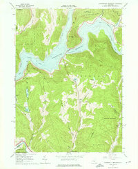
1965 Map of Cannonsville Reservoir
USGS Topo · Published 1976About this map
Cannonsville Reservoir dominates the landscape of western Delaware County, its creation having fundamentally altered the valley of the West Branch Delaware River. This 1965 survey records the terrain shortly after the reservoir’s completion, showing the submerged landscape of former valley farms and the realignment of infrastructure. Small settlements like Kelsey and Apex sit on the upland fringes, while the Erie-Lackawanna railroad tracks trace the southeastern edge through Kerry Siding and Faulkner. The map reveals a transition from traditional agricultural land use to recreation and resource management, evidenced by Kingswood Camp, Camp Hilltop, and expansive tracts of the Delaware State Forest. Notable upland water bodies such as Crystal Lake, Columbia Lake, and Silver Lake remain untouched by the reservoir, while numerous quarries and the NY City Water Supply boundary line highlight the area's role in industrial and metropolitan utility.
Find a feature on this map
43 named features on this map. Tap any name to fly to it.
Don’t see what you’re looking for? This feature index may not catch every label — zoom into the map to look around manually.
Map Details
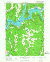
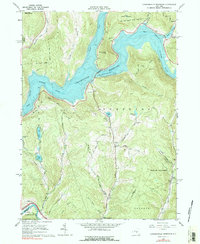
Editions of this 1965 Cannonsville Reservoir Map
3 editions found
Other maps of this area

1920 · Long Eddy
USGS Topo · 1:62,500

1921 · Long Eddy
USGS Topo · 1:48,000

1923 · Long Eddy
USGS Topo · 1:62,500

1923 · Walton
USGS Topo · 1:48,000

1924 · Starrucca
USGS Topo · 1:48,000

1924 · Deposit
USGS Topo · 1:62,500

1925 · Walton
USGS Topo · 1:62,500

1926 · Deposit
USGS Topo · 1:62,500

1926 · Starrucca
USGS Topo · 1:62,500

1930 · Starrucca
USGS Topo · 1:48,000