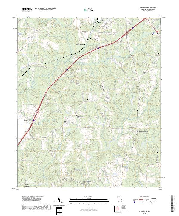
2024 Map of Cannonville
USGS Topo · Published 2024About this map
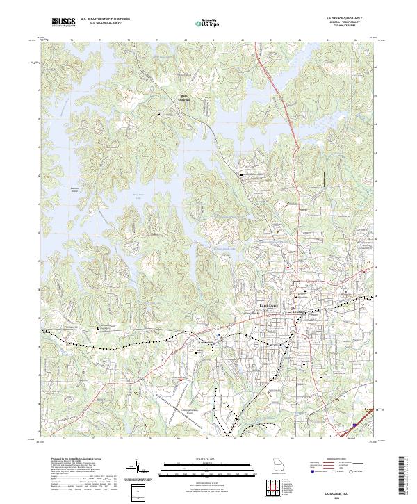
LaGrange and the rural corridors of Troup County are depicted here in a modern landscape of dispersed settlements and historic congregations. The area is characterized by several small communities at historic intersections, including Smiths Crossroad, Baughs Crossroads, and Jones Crossroads. These junctions, along with the neighborhood of Gray Hill, serve as focal points for local history, often centered around long-standing religious institutions such as Zion Hill Baptist Church and the New Harmony Christian Methodist Episcopal Church.
Find a feature on this map
100 named features on this map. Tap any name to fly to it.
Don’t see what you’re looking for? This feature index may not catch every label — zoom into the map to look around manually.
Map Details
Editions of this 2024 Cannonville Map
This is the sole edition of this map. No revisions or reprints were ever made.
Historical Maps of Old Chimney Through Time
10 maps found
1964 Abbottsford
Troup County, GA
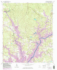
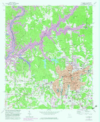
1964 Cannonville
Troup County, GA
1964 Hilyer
Troup County, GA
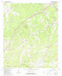
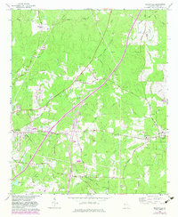
1964 La Grange
Troup County, GA
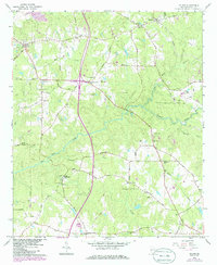
1964 Mountville
Troup County, GA
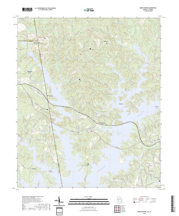
2024 Abbottsford
Troup County, GA
2024 Cannonville
Troup County, GA
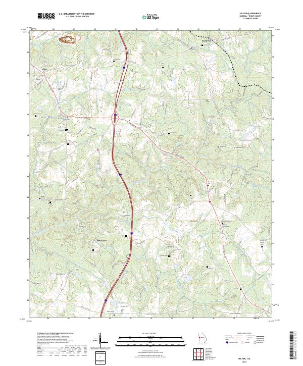
2024 Hilyer
Troup County, GA
2024 La Grange
Troup County, GA
2024 Mountville
Troup County, GA