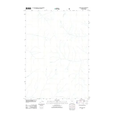
2012 Map of Canoe Lake
USGS Topo · Published 2012About this map
Canoe Lake is the namesake of this 2012 survey, situated in the high drainage basins of Park County, Wyoming. The landscape is defined by its complex network of seasonal and perennial watercourses, including the westward-flowing S Cache Cr and Timber Cr, which carve through the high-elevation terrain. This area, managed by the BLM and the Forest Service, remains an undeveloped environment of natural watersheds. Local history and geography enthusiasts can trace the source of N Fork Crandall Cr and Closed Cr as they move through the northern portions of the quadrangle. In the south, the headwaters of Miller Cr and Calfee Cr reflect the primitive state of the wilderness before significant human infrastructure reached this corner of the state.
Find a feature on this map
7 named features on this map. Tap any name to fly to it.
Don’t see what you’re looking for? This feature index may not catch every label — zoom into the map to look around manually.
Map Details
Editions of this 2012 Canoe Lake Map
This is the sole edition of this map. No revisions or reprints were ever made.
Other maps of this area

1886 · Canyon
USGS Topo · 1:125,000

1895 · Canyon
USGS Topo · 1:125,000

1896 · Canyon
USGS Topo · 1:125,000

1896 · Crandall Creek
USGS Topo · 1:125,000

1899 · Crandall
USGS Topo · 1:125,000

1901 · Canyon
USGS Topo · 1:125,000

1907 · Canyon
USGS Topo · 1:125,000

1911 · Canyon
USGS Topo · 1:125,000

1955 · Ashton
USGS Topo · 1:250,000

1955 · Cody
USGS Topo · 1:250,000