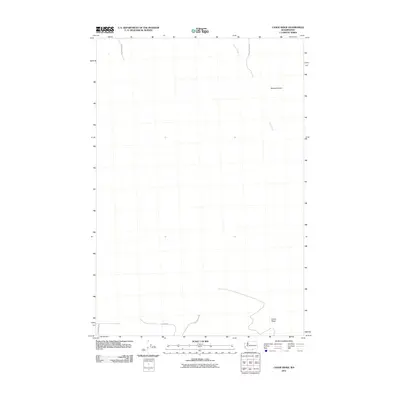
2011 Map of Canoe Ridge
USGS Topo · Published 2011About this map
Canoe Ridge defines the southern portion of this high-desert landscape in Benton County, where the terrain drops toward the Columbia River corridor. The drainage of Glade Creek winds through the eastern section of the quadrangle, carving a path near Moore Canyon in the north. This 2011 survey reflects the modern agricultural and transit network of the region, marked by thoroughfares such as Sonova Rd and Glade Creek Rd. The presence of 100 Circles Pr suggests the pivot irrigation patterns that have come to characterize the modern development of this part of Washington. While largely open country, the map tracks the specific rural infrastructure including S Waggoner Rd and Columbia Rd which serve the area's farming operations.
Find a feature on this map
8 named features on this map. Tap any name to fly to it.
Don’t see what you’re looking for? This feature index may not catch every label — zoom into the map to look around manually.
Map Details
Editions of this 2011 Canoe Ridge Map
This is the sole edition of this map. No revisions or reprints were ever made.
Other maps of this area

1906 · Blalock Island
USGS Topo · 1:125,000

1908 · Blalock Island
USGS Topo · 1:125,000

1915 · Prosser
USGS Topo · 1:125,000

1917 · Prosser
USGS Topo · 1:125,000

1953 · Pendleton
USGS Topo · 1:250,000

1953 · Walla Walla
USGS Topo · 1:250,000

1955 · Prosser SW
USGS Topo · 1:24,000

1956 · Pendleton
USGS Topo · 1:250,000

1958 · Walla Walla
USGS Topo · 1:250,000
1962 · Phinny Hill
USGS Topo · 1:24,000