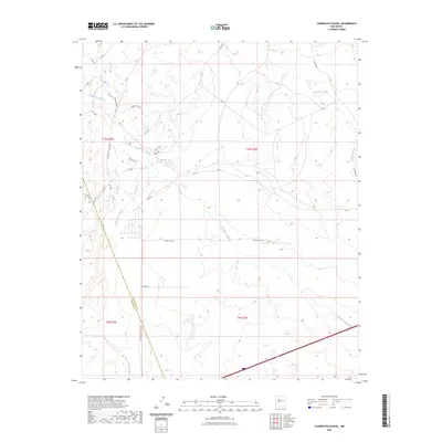
2023 Map of Canoncito School
USGS Topo · Published 2023About this map
Cañada los Apaches winds through this arid landscape near the border of Bernalillo and Cibola counties, illustrating the complex drainage patterns characteristic of the high desert. The map captures a modern transportation network of tribal roads and trails, including Tribal Rd N59 and Tribal Rd N7074, which connect to the Canoncito School Rd corridor. This area is defined by its deep arroyos and intermittent watercourses like Rio Puerco and Cañada los Alamos, which have carved distinct pathways across the terrain. The presence of Airport Loop and various numbered routes like Rte 59 shows the developed infrastructure serving the local community, while many smaller paths like TRL 57 trace the more traditional routes through the hills.
Find a feature on this map
33 named features on this map. Tap any name to fly to it.
Don’t see what you’re looking for? This feature index may not catch every label — zoom into the map to look around manually.
Map Details
Editions of this 2023 Canoncito School Map
This is the sole edition of this map. No revisions or reprints were ever made.
Other maps of this area

1883 · Mt. Taylor
USGS Topo · 1:250,000

1886 · Mt. Taylor
USGS Topo · 1:250,000

1888 · Bernalillo
USGS Topo · 1:125,000

1889 · Albuquerque
USGS Topo · 1:125,000

1892 · Mt. Taylor
USGS Topo · 1:250,000

1893 · Albuquerque
USGS Topo · 1:125,000

1899 · Mt. Taylor
USGS Topo · 1:250,000

1917 · Cerro Verde
USGS Topo · 1:125,000

1952 · Dalies NW
USGS Topo · 1:24,000

1954 · Herrera
USGS Topo · 1:24,000
Featured Places
- Eastern Navajo Agency, NM
- To'hajiilee, Eastern Navajo Agency
- Bernalillo County, NM
- Cibola County, NM
- United States