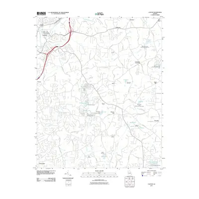
2011 Map of Canton
USGS Topo · Published 2011About this map
Canton and its northern neighbor North Canton anchor this 2011 survey of the Georgia Piedmont, where the Etowah River carves through a landscape of evolving suburban development and rural heritage. The map records a complex network of man-made water features, including several numbered dams such as the Mill Canton Creek Structure Number 12 Dam and the Mill Canton Creek Structure Number Six Dam, highlighting the managed hydrology of the region.
Find a feature on this map
103 named features on this map. Tap any name to fly to it.
Don’t see what you’re looking for? This feature index may not catch every label — zoom into the map to look around manually.
Map Details
Editions of this 2011 Canton Map
This is the sole edition of this map. No revisions or reprints were ever made.
Other maps of this area

1890 · Suwanee
USGS Topo · 1:125,000

1890 · Cartersville
USGS Topo · 1:125,000

1891 · Cartersville
USGS Topo · 1:125,000

1894 · Suwanee
USGS Topo · 1:125,000

1896 · Cartersville
USGS Topo · 1:125,000

1907 · Acworth
USGS Topo · 1:62,500

1909 · Acworth
USGS Topo · 1:62,500

1926 · Tate
USGS Topo · 1:62,500

1928 · Tate
USGS Topo · 1:62,500

1947 · Waleska
USGS Topo · 1:62,500