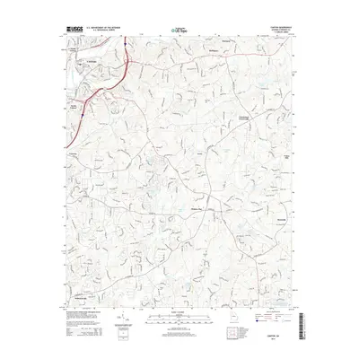
2014 Map of Canton
USGS Topo · Published 2014About this map
The Etowah River anchors this Cherokee County landscape, flowing past the core settlements of Canton, North Canton, and South Canton. This modern survey illustrates the suburban expansion and development patterns that have integrated older crossroads like Hickory Flat, Buffington, and Batesville into the regional infrastructure. The geography is defined by a dense network of residential streets and arterial roads like Hickory Flat Hwy and E Cherokee Dr, which connect these established communities with newer developments near Univeter.
Find a feature on this map
40 named features on this map. Tap any name to fly to it.
Don’t see what you’re looking for? This feature index may not catch every label — zoom into the map to look around manually.
Map Details
Editions of this 2014 Canton Map
This is the sole edition of this map. No revisions or reprints were ever made.
Other maps of this area

1890 · Suwanee
USGS Topo · 1:125,000

1890 · Cartersville
USGS Topo · 1:125,000

1891 · Cartersville
USGS Topo · 1:125,000

1894 · Suwanee
USGS Topo · 1:125,000

1896 · Cartersville
USGS Topo · 1:125,000

1907 · Acworth
USGS Topo · 1:62,500

1909 · Acworth
USGS Topo · 1:62,500

1926 · Tate
USGS Topo · 1:62,500

1928 · Tate
USGS Topo · 1:62,500

1947 · Waleska
USGS Topo · 1:62,500