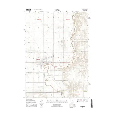
2015 Map of Canton
USGS Topo · Published 2015About this map
The Big Sioux River serves as a winding natural boundary between South Dakota and Iowa on this 2015 survey, separating Lincoln County from Lyon and Sioux counties. The city of Canton sits as a central hub, defined by a grid of streets including E Lynn Ave and W 5th St, while the settlement of Beloit lies further south near a bend in the river. This landscape is marked by unique cultural features like the Canton Mounds, providing a look into the long human history along these bluffs. The map records important local landmarks for genealogists and researchers, such as the Canton Cem and Beloit Cem, alongside regional infrastructure like the Canton Municipal Airport. Tributaries such as Beaver Cr, Little Beaver Cr, and Nelson Cr drain the surrounding agricultural lands, illustrating the complex hydrology that has shaped the border region for generations.
Find a feature on this map
65 named features on this map. Tap any name to fly to it.
Don’t see what you’re looking for? This feature index may not catch every label — zoom into the map to look around manually.
Map Details
Editions of this 2015 Canton Map
This is the sole edition of this map. No revisions or reprints were ever made.
Other maps of this area

1897 · Canton
USGS Topo · 1:125,000

1900 · Canton
USGS Topo · 1:125,000

1955 · Sioux Falls
USGS Topo · 1:250,000

1958 · Sioux Falls
USGS Topo · 1:250,000

1962 · Klondike
USGS Topo · 1:24,000

1962 · Harrisburg
USGS Topo · 1:24,000

1962 · Canton
USGS Topo · 1:24,000

1964 · Canton SW
USGS Topo · 1:24,000

1968 · Alcester NW
USGS Topo · 1:24,000

1968 · Alcester NE
USGS Topo · 1:24,000