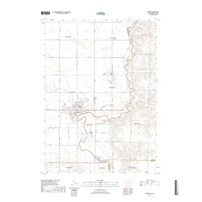
2017 Map of Canton
USGS Topo · Published 2017About this map
The Big Sioux River carves a winding path through the borderlands of South Dakota and Iowa, defining the western edge of the Coteau des Prairies. This survey captures the urban core of Canton, situated on the high ground north of the river, where a structured grid of streets including N Main St and N Broadway St meets the agricultural expanse. The topography shifts from the flat river bottomlands to the rising bluffs where the Canton Mounds and the Hiawatha Asylum Cem are located, offering a glimpse into the specialized land use and cultural history of the late 19th and early 20th centuries.
Find a feature on this map
81 named features on this map. Tap any name to fly to it.
Don’t see what you’re looking for? This feature index may not catch every label — zoom into the map to look around manually.
Map Details
Editions of this 2017 Canton Map
This is the sole edition of this map. No revisions or reprints were ever made.
Other maps of this area

1897 · Canton
USGS Topo · 1:125,000

1900 · Canton
USGS Topo · 1:125,000

1955 · Sioux Falls
USGS Topo · 1:250,000

1958 · Sioux Falls
USGS Topo · 1:250,000

1962 · Klondike
USGS Topo · 1:24,000

1962 · Harrisburg
USGS Topo · 1:24,000

1962 · Canton
USGS Topo · 1:24,000

1964 · Canton SW
USGS Topo · 1:24,000

1968 · Alcester NW
USGS Topo · 1:24,000

1968 · Alcester NE
USGS Topo · 1:24,000