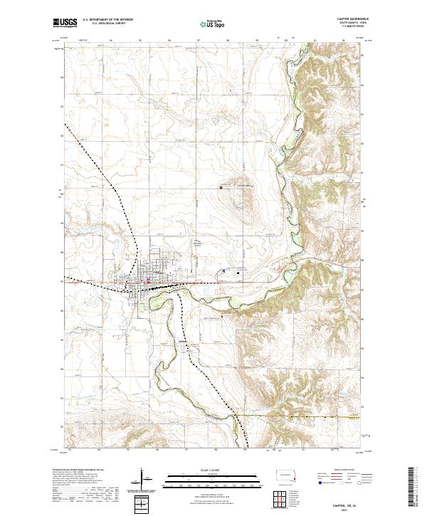
2021 Map of Canton
USGS Topo · Published 2021About this map
The Big Sioux River serves as the winding boundary between South Dakota and Iowa, defining the landscape where the city of Canton sits at the edge of the prairie. This 2021 topographic map documents the established infrastructure of the region, from the Courthouse in the heart of town to the Canton Municipal Airport on the northern outskirts. The terrain transition is marked by the Canton Mounds and the varying elevations along Nelson Cr and Beaver Cr, which feed into the river's main channel. Notable for researchers is the Hiawatha Asylum Cem, a site with significant historical weight, alongside the Canton Cem and Beloit Cem. The map also highlights the Jay Heath Canoe & Kayak Trl, illustrating the modern recreational use of the same river that once dictated the original settlement patterns of the village of Beloit and the surrounding agricultural townships.
Find a feature on this map
78 named features on this map. Tap any name to fly to it.
Don’t see what you’re looking for? This feature index may not catch every label — zoom into the map to look around manually.
Map Details
Editions of this 2021 Canton Map
This is the sole edition of this map. No revisions or reprints were ever made.
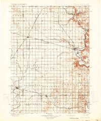
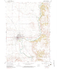
Historical Maps of Fairview Township Through Time
4 maps found

Featured Locations
- Canton Township, SD
- Fairview Township, SD
- Highland Township, SD
- Canton, Canton Township
- Beloit, Lyon Township