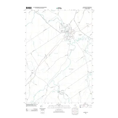
2013 Map of Canton
USGS Topo · Published 2013About this map
Canton serves as the focal point of this Saint Lawrence County survey, dominated by the campus of St Lawrence Univ and the winding course of the Grass River. The town's grid is dense with residential streets like Stillman Dr and Romoda Dr, while the surrounding landscape reveals a deep history of rural burial grounds including Fairview Cem and Saint Marys Cem.
Find a feature on this map
92 named features on this map. Tap any name to fly to it.
Don’t see what you’re looking for? This feature index may not catch every label — zoom into the map to look around manually.
Map Details
Editions of this 2013 Canton Map
This is the sole edition of this map. No revisions or reprints were ever made.
Other maps of this area

1904 · Ogdensburg
USGS Topo · 1:62,500

1905 · Ogdensburg
USGS Topo · 1:62,500

1910 · Canton
USGS Topo · 1:62,500

1911 · Canton
USGS Topo · 1:62,500

1915 · Gouverneur
USGS Topo · 1:62,500

1915 · Russell
USGS Topo · 1:62,500

1918 · Russell
USGS Topo · 1:62,500

1937 · Gouverneur
USGS Topo · 1:62,500

1943 · Rensselaer Falls
USGS Topo · 1:31,680

1943 · Lisbon
USGS Topo · 1:31,680