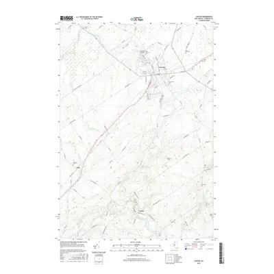
2016 Map of Canton
USGS Topo · Published 2016About this map
Canton stands as a prominent educational and civic hub in the North Country, where the Grass River and Little River converge amidst a landscape shaped by glacial activity and early settlement. The presence of St Lawrence University and the SUNY College of Technology at Canton anchors the northern portion of the quadrangle, reflecting the town's long-standing role as a center for higher learning. The river systems are central to the area's geography, featuring Rushton Falls and smaller waterways like Church Brook and Harrison Creek.
Find a feature on this map
79 named features on this map. Tap any name to fly to it.
Don’t see what you’re looking for? This feature index may not catch every label — zoom into the map to look around manually.
Map Details
Editions of this 2016 Canton Map
This is the sole edition of this map. No revisions or reprints were ever made.
Other maps of this area

1904 · Ogdensburg
USGS Topo · 1:62,500

1905 · Ogdensburg
USGS Topo · 1:62,500

1910 · Canton
USGS Topo · 1:62,500

1911 · Canton
USGS Topo · 1:62,500

1915 · Gouverneur
USGS Topo · 1:62,500

1915 · Russell
USGS Topo · 1:62,500

1918 · Russell
USGS Topo · 1:62,500

1937 · Gouverneur
USGS Topo · 1:62,500

1943 · Rensselaer Falls
USGS Topo · 1:31,680

1943 · Lisbon
USGS Topo · 1:31,680