
1953 Map of Canton
USGS Topo · Published 1954About this map
The Cumberland River and Little River converge in this mid-century survey of Trigg County, documenting the landscape shortly before the creation of Lake Barkley. The settlement of Canton serves as a focal point along the Jeff Davis Highway, surrounded by a dense network of family-named cemeteries and rural institutions. The topography is defined by prominent features such as Hillman Bluff and the sharp bend at Devils Elbow, illustrating the winding river system that historically dictated travel and settlement patterns in the region.
Find a feature on this map
45 named features on this map. Tap any name to fly to it.
Don’t see what you’re looking for? This feature index may not catch every label — zoom into the map to look around manually.
Map Details
Editions of this 1953 Canton Map
This is the sole edition of this map. No revisions or reprints were ever made.
Other maps of this area

1936 · Mont
USGS Topo · 1:24,000

1936 · Fenton
USGS Topo · 1:24,000

1936 · Golden Pond
USGS Topo · 1:48,000

1936 · Rushing
USGS Topo · 1:24,000

1950 · Rushing Creek
USGS Topo · 1:24,000
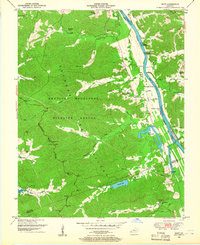
1950 · Mont
USGS Topo · 1:24,000
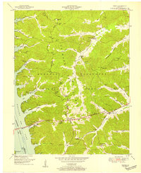
1950 · Fenton
USGS Topo · 1:24,000

1951 · Model
USGS Topo · 1:24,000

1951 · Johnson Hollow
USGS Topo · 1:24,000

1953 · Cobb
USGS Topo · 1:24,000