1950 Map of Mont
USGS Topo · Published 1953About this map
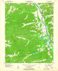
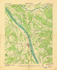
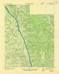
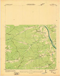
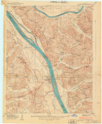
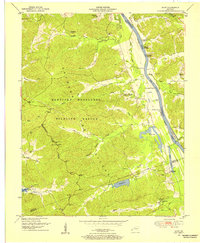
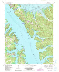
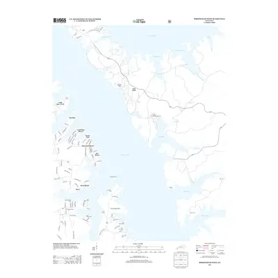
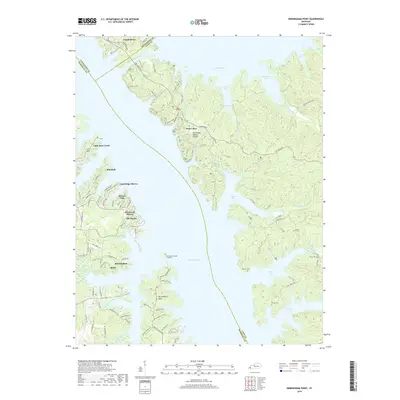
The rugged Between the Rivers region of Western Kentucky is captured here during a transitional era, dominated by the Kentucky Woodlands Wildlife Refuge. This landscape preserves the industrial legacy of the nineteenth-century iron trade, evidenced by Mammoth Furnace and the Center Furnace (Ruins). The topography is defined by the Divide separating the Cumberland River to the east and the Tennessee Valley to the west. River life remains prominent through numerous landings such as Parkersville Landing and Hayes Landing along the Cumberland's Pool F. Deep in the hollows like Curry Hollow and Fulton Hollow, the map records rural landmarks including Woodson Chapel and Henderson Chapel Cem, offering a detailed view of a landscape later transformed by the creation of Land Between the Lakes.
Find a feature on this map
60 named features on this map. Tap any name to fly to it.
Don’t see what you’re looking for? This feature index may not catch every label — zoom into the map to look around manually.
Map Details
Editions of this 1950 Mont Map
2 editions found
Historical Maps of Commerce Landing Through Time
19 maps found
1936 Birmingham
Lyon County, KY
1936 Golden Pond
Lyon County, KY
1936 Mont
Lyon County, KY
1938 Birmingham
Lyon County, KY
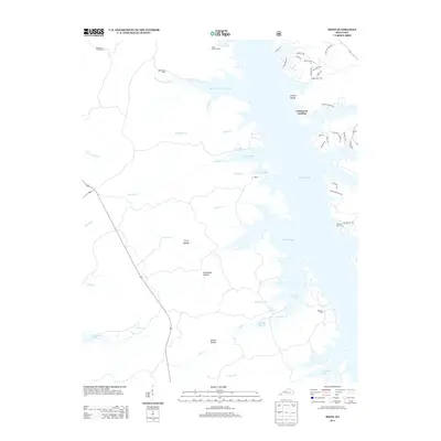
1950 Mont
Lyon County, KY
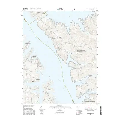
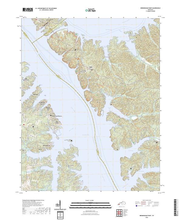
1955 Birmingham Point
Lyon County, KY
1955 Golden Pond
Lyon County, KY
1967 Birmingham Point
Lyon County, KY
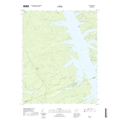
1967 Mont
Lyon County, KY
2010 Birmingham Point
Lyon County, KY
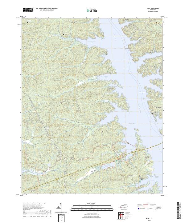
2010 Mont
Lyon County, KY
2013 Birmingham Point
Lyon County, KY
2013 Mont
Lyon County, KY
2016 Birmingham Point
Lyon County, KY
2016 Mont
Lyon County, KY
2019 Birmingham Point
Lyon County, KY
2019 Mont
Lyon County, KY
2022 Birmingham Point
Lyon County, KY
2022 Mont
Lyon County, KY