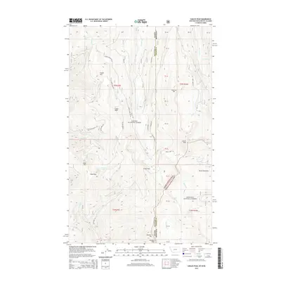
2014 Map of Canuck Peak
USGS Topo · Published 2014About this map
The Idaho-Montana border runs north-south through this high-elevation portion of the Purcell Mountains, dividing the Kanisku National Forest to the west from the Kootenai National Forest to the east. The landscape is defined by massive peaks including Canuck Peak, American Mtn, and Ruby Mtn, linked by prominent features like Ruby Ridge and Buckhorn Ridge.
Find a feature on this map
44 named features on this map. Tap any name to fly to it.
Don’t see what you’re looking for? This feature index may not catch every label — zoom into the map to look around manually.
Map Details
Editions of this 2014 Canuck Peak Map
This is the sole edition of this map. No revisions or reprints were ever made.
Other maps of this area

1911 · Priest Lake
USGS Topo · 1:250,000

1913 · Priest Lake
USGS Topo · 1:250,000

1957 · Kalispell
USGS Topo · 1:250,000

1958 · Sandpoint
USGS Topo · 1:250,000

1960 · Kalispell
USGS Topo · 1:250,000

1961 · Kalispell
USGS Topo · 1:250,000

1963 · Sandpoint
USGS Topo · 1:250,000

1963 · Mount Baldy
USGS Topo · 1:24,000

1963 · Northwest Peak
USGS Topo · 1:24,000

1965 · Meadow Creek
USGS Topo · 1:24,000