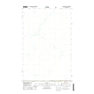
2013 Map of Canuck Peak OE N
USGS Topo · Published 2013About this map
The Canada-United States border defines the northern edge of this remote mountain region within the Kanisku National Forest. This 2013 survey provides a clear view of the complex drainage networks where Idaho, Montana, and British Columbia converge. The central feature is the Moyie River, which flows through the northwestern corner, joined by tributaries such as Christopher Cr and Jensen Cr. To the south, the landscape is defined by the winding paths of Hawkins Creek and Canuck Cr, illustrating the rugged hydrology of the Selkirk Mountains. While predominantly wilderness, the map traces the intersection of Boundary County, Idaho, and Lincoln County, Montana, at the international line.
Find a feature on this map
13 named features on this map. Tap any name to fly to it.
Don’t see what you’re looking for? This feature index may not catch every label — zoom into the map to look around manually.
Map Details
Editions of this 2013 Canuck Peak OE N Map
This is the sole edition of this map. No revisions or reprints were ever made.
Other maps of this area

1911 · Priest Lake
USGS Topo · 1:250,000

1913 · Priest Lake
USGS Topo · 1:250,000

1957 · Kalispell
USGS Topo · 1:250,000

1958 · Sandpoint
USGS Topo · 1:250,000

1960 · Kalispell
USGS Topo · 1:250,000

1961 · Kalispell
USGS Topo · 1:250,000

1963 · Sandpoint
USGS Topo · 1:250,000

1963 · Northwest Peak
USGS Topo · 1:24,000

1965 · Eastport
USGS Topo · 1:24,000
1965 · Canuck Peak
USGS Topo · 1:24,000