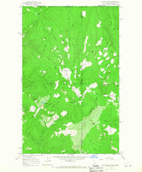
1965 Map of Canuck Peak
USGS Topo · Published 1967About this map
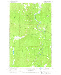
The international border between the United States and Canada defines the northern edge of this high-altitude landscape, where the Idaho and Montana state lines intersect at the Boundary and Lincoln County divide. The terrain is characterized by a network of drainage basins and ridges within the Kaniksu National Forest and Kootenai National Forest. Dominant peaks like Canuck Peak and American Mtn tower over deep valleys carved by Canuck Creek and American Creek.
Find a feature on this map
37 named features on this map. Tap any name to fly to it.
Don’t see what you’re looking for? This feature index may not catch every label — zoom into the map to look around manually.
Map Details
Editions of this 1965 Canuck Peak Map
2 editions found
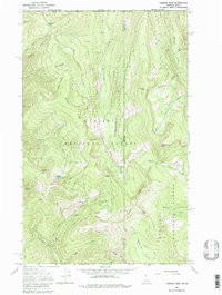
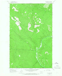
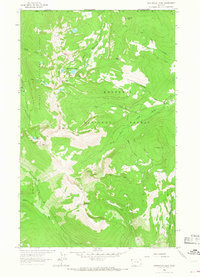
Other maps of this area

1911 · Priest Lake
USGS Topo · 1:250,000

1913 · Priest Lake
USGS Topo · 1:250,000

1957 · Kalispell
USGS Topo · 1:250,000

1958 · Sandpoint
USGS Topo · 1:250,000

1960 · Kalispell
USGS Topo · 1:250,000

1961 · Kalispell
USGS Topo · 1:250,000

1963 · Sandpoint
USGS Topo · 1:250,000
1963 · Mount Baldy
USGS Topo · 1:24,000
1963 · Northwest Peak
USGS Topo · 1:24,000
1965 · Meadow Creek
USGS Topo · 1:24,000