Old Maps of Boundary County, Idaho
Explore 107 old maps of Boundary County, spanning from 1911 to today. These high-resolution historic maps reveal how streets, neighborhoods, landmarks, and natural features evolved over time — perfect for genealogy, metal detecting, research, and local history exploration.
What you can do with these maps:
- See how Boundary County changed over time: Compare historical maps to modern-day views to trace roads, homesites, rail lines & more.
- View detailed metadata: Each map includes creators, publishers, year, scale, and archive source.
- Overlay maps with satellite & LiDAR: Visualize the past alongside modern tools to explore terrain & human change.
- Trusted historical sources: Maps sourced from the USGS, Library of Congress, and other archives.
- Access maps your way: View online, download high-res files, or order prints for personal or research use.
Start exploring old maps of Boundary County to uncover forgotten places, hidden landmarks, and the deep history beneath your feet.
Boundary County, ID maps
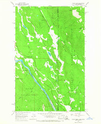
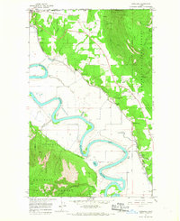
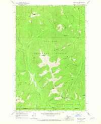
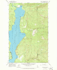
(107)- 1911 Map of Priest Lake, 1954 Print
 1911 Priest Lake1954 Print · USGSCovers Boundary County, including Sandpoint, Bonners Ferry, and other nearby areas
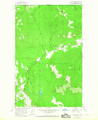
 - 1913 Map of Priest Lake
 1913 Priest Lake1913 Print · USGSCovers Boundary County, including Sandpoint, Bonners Ferry, and other nearby areas3 unique versions available
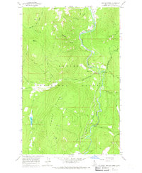
 - 1934 Map of Metaline, 1959 Print
 1934 Metaline1959 Print · USGSCovers Boundary County, including Ione, Metaline Falls, and other nearby areas
 - 1942 Map of Metaline
 1942 Metaline1942 Print · USGSCovers Boundary County, including Ione, Metaline Falls, and other nearby areas3 unique versions available
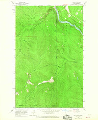
 - 1958 Map of Sandpoint, 1966 Print
 1958 Sandpoint1966 Print · USGSCovers Boundary County, including Sandpoint, Colville, and other nearby areas2 unique versions available
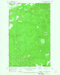
 - 1963 Map of Sandpoint
 1963 Sandpoint1963 Print · USGSCovers Boundary County, including Sandpoint, Colville, and other nearby areas
 - 1965 Map of Curley Creek, 1967 Print
 1965 Curley Creek1967 Print · USGSCovers Boundary County, including Lincoln County, United States, and other nearby areas3 unique versions available
 - 1965 Map of Meadow Creek, 1967 Print
 1965 Meadow Creek1967 Print · USGSCovers Boundary County, including United States, Idaho, and other nearby areas2 unique versions available
 - 1965 Map of Farnham Peak, 1967 Print
 1965 Farnham Peak1967 Print · USGSCovers Boundary County, including United States, Idaho, and other nearby areas2 unique versions available
 - 1965 Map of Leonia, 1967 Print
 1965 Leonia1967 Print · USGSCovers Boundary County, including Bonner County, Lincoln County, and other nearby areas2 unique versions available
 - 1965 Map of Twentymile Creek, 1967 Print
 1965 Twentymile Creek1967 Print · USGSCovers Boundary County, including Bonner County, United States, and other nearby areas
 - 1965 Map of Eastport, 1967 Print
 1965 Eastport1967 Print · USGSCovers Boundary County, including Eastport, United States, and other nearby areas
 - 1965 Map of Moravia, 1967 Print
 1965 Moravia1967 Print · USGSCovers Boundary County, including United States, Idaho, and other nearby areas2 unique versions available
 - 1965 Map of Ritz, 1967 Print
 1965 Ritz1967 Print · USGSCovers Boundary County, including United States, Idaho, and other nearby areas3 unique versions available
 - 1965 Map of Line Point, 1967 Print
 1965 Line Point1967 Print · USGSCovers Boundary County, including Lincoln County, United States, and other nearby areas2 unique versions available
 - 1965 Map of Copeland, 1967 Print
 1965 Copeland1967 Print · USGSCovers Boundary County, including Porthill, Area B (Goat River Valley), and other nearby areas3 unique versions available
 - 1965 Map of Moyie Springs, 1967 Print
 1965 Moyie Springs1967 Print · USGSCovers Boundary County, including Moyie Springs, United States, and other nearby areas2 unique versions available
 - 1965 Map of Naples, 1967 Print
 1965 Naples1967 Print · USGSCovers Boundary County, including Naples, Bonner County, and other nearby areas2 unique versions available
 - 1965 Map of Canuck Peak, 1967 Print
 1965 Canuck Peak1967 Print · USGSCovers Boundary County, including Lincoln County, United States, and other nearby areas2 unique versions available
 - 1965 Map of Clifty Mtn, 1967 Print
 1965 Clifty Mtn1967 Print · USGSCovers Boundary County, including Bonner County, United States, and other nearby areas
 - 1965 Map of Hall Mountain, 1967 Print
 1965 Hall Mountain1967 Print · USGSCovers Boundary County, including United States, Idaho, and other nearby areas2 unique versions available
 - 1965 Map of Bonners Ferry, 1967 Print
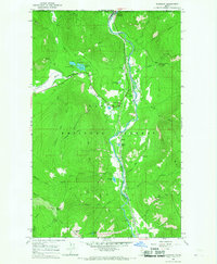
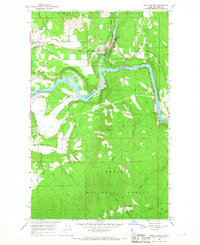
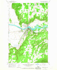 1965 Bonners Ferry1967 Print · USGSCovers Boundary County, including Bonners Ferry, Threemile Corner, and other nearby areas2 unique versions available
 - 1967 Map of Priest Lake SE, 1971 Print
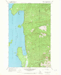 1967 Priest Lake SE1971 Print · USGSCovers Boundary County, including Bonner County, United States, and other nearby areas3 unique versions available
 - 1967 Map of Priest Lake NE, 1971 Print
 1967 Priest Lake NE1971 Print · USGSCovers Boundary County, including Bonner County, United States, and other nearby areas2 unique versions available
 - 1967 Map of Salmo Mtn., 1971 Print
 1967 Salmo Mtn.1971 Print · USGSCovers Boundary County, including Area G (Salmo Valley), Regional District of Central Kootenay, and other nearby areas3 unique versions available
Showing maps 1-25 of 107
Top cities of Boundary County
Frequently asked questions
- What are the different types of historical maps available for Boundary County?
- What is the oldest map of Boundary County?
- Where can I purchase historical maps of Boundary County for my home or office?
- Where can I download high-res historical maps of Boundary County?
- Are there historical topographic maps available for Boundary County?
- Is there historical aerial imagery available for Boundary County?
- Where are historical maps of Boundary County sourced from?