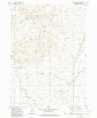
1979 Map of Mammoth Cave
USGS Topo · Published 1980About this map
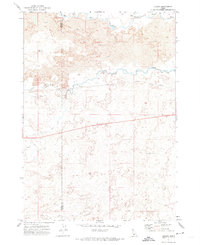
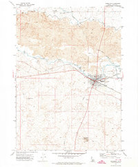
Mammoth Cave and the surrounding volcanic landscape of the Black Hills Butte dominate this 1970s survey of south-central Idaho. This arid region, straddling the Idaho-Lincoln Co. line, reveals a complex subterranean world with features like Gwinn Cave, Little Arch Cave, and Johnson Cave dotting the terrain. The landscape is defined by the vital necessity of water management, evidenced by an extensive network of irrigation infrastructure designed to make the high desert productive.
Find a feature on this map
26 named features on this map. Tap any name to fly to it.
Don’t see what you’re looking for? This feature index may not catch every label — zoom into the map to look around manually.
Map Details
Editions of this 1979 Mammoth Cave Map
This is the sole edition of this map. No revisions or reprints were ever made.
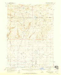
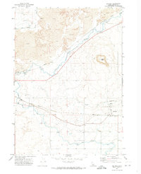
Other maps of this area

1955 · Twin Falls
USGS Topo · 1:250,000

1955 · Hailey
USGS Topo · 1:250,000
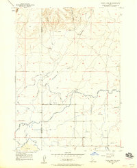
1957 · Thorn Creek SE
USGS Topo · 1:24,000
1957 · Thorn Creek
USGS Topo · 1:62,500

1958 · Twin Falls
USGS Topo · 1:250,000

1959 · Hailey
USGS Topo · 1:250,000

1962 · Hailey
USGS Topo · 1:250,000
1971 · Dietrich
USGS Topo · 1:24,000
1971 · Tunupa
USGS Topo · 1:24,000
1971 · Shoshone
USGS Topo · 1:24,000