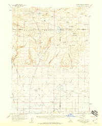
1971 Map of Tunupa
USGS Topo · Published 1974About this map
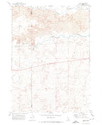
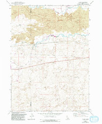
Lava flows dominate this High Desert landscape along the Gooding and Lincoln County line, where the volcanic terrain is deeply carved by the Big Wood River and Little Wood River. Water management is the primary signature of development in this arid region, visible through the presence of a Diversion Dam and the expansive reach of the South Gooding Main Canal. The small settlement of Tunupa serves as a focal point along the Union Pacific railroad line, which cuts a straight path across the basalt-strewn plains. Local infrastructure is further evidenced by isolated features like the Sliman Reservoir and the Jones Wendell Well, highlighting the critical importance of water rights and access in this part of Southern Idaho. Industrial activity is confined to small-scale extraction, including a Borrow Pit and several Gravel Pit sites used for local construction.
Find a feature on this map
13 named features on this map. Tap any name to fly to it.
Don’t see what you’re looking for? This feature index may not catch every label — zoom into the map to look around manually.
Map Details
Editions of this 1971 Tunupa Map
2 editions found
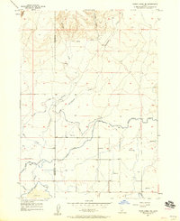
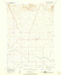
Other maps of this area

1955 · Twin Falls
USGS Topo · 1:250,000

1955 · Hailey
USGS Topo · 1:250,000
1957 · Thorn Creek SE
USGS Topo · 1:24,000
1957 · Thorn Creek SW
USGS Topo · 1:24,000
1957 · Thorn Creek
USGS Topo · 1:62,500

1958 · Twin Falls
USGS Topo · 1:250,000

1959 · Hailey
USGS Topo · 1:250,000

1962 · Hailey
USGS Topo · 1:250,000
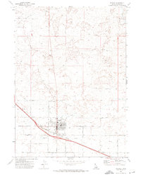
1971 · Wendell
USGS Topo · 1:24,000
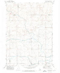
1971 · Gooding SE
USGS Topo · 1:24,000