
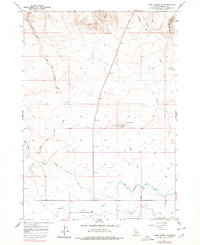
1957 Map of Thorn Creek SW
USGS Topo · Published 1959About this map
Little City of Rocks dominates the northern edge of this Idaho landscape, where the high desert terrain transitions into a complex network of canyons and plateaus. By the late 1950s, the southern portion of the quadrangle shows the clear imprint of agricultural engineering, marked by the North Gooding Main Canal and Gooding Main Canal. These waterways, along with the Robertson Ditch and Union Ditch, represent the essential irrigation infrastructure required to sustain life and industry in Gooding County. The natural drainage of Thorn Creek and Turkey Creek cuts through the elevation, while landmarks like Turkey Head Butte and the small Turkey Lake provide navigational anchors in the open country. This survey, based on 1954 aerial photography, captures the area during a period of steady water management development, seen in the contrast between the wild basalt formations of the north and the channeled lowlands to the south.
Find a feature on this map
19 named features on this map. Tap any name to fly to it.
Don’t see what you’re looking for? This feature index may not catch every label — zoom into the map to look around manually.
Map Details
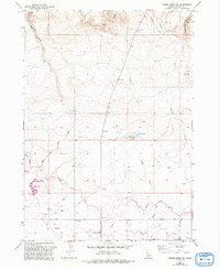
Editions of this 1957 Thorn Creek SW Map
3 editions found
Other maps of this area

1949 · Gooding Butte
USGS Topo · 1:24,000

1950 · Gooding Butte
USGS Topo · 1:24,000

1955 · Twin Falls
USGS Topo · 1:250,000

1955 · Hailey
USGS Topo · 1:250,000

1957 · Thorn Creek SE
USGS Topo · 1:24,000

1957 · Thorn Creek
USGS Topo · 1:62,500

1957 · Davis Mountain
USGS Topo · 1:62,500

1958 · Twin Falls
USGS Topo · 1:250,000

1959 · Hailey
USGS Topo · 1:250,000

1962 · Hailey
USGS Topo · 1:250,000