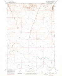
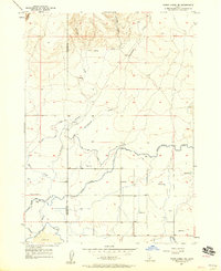
1957 Map of Thorn Creek SW
USGS Topo · Published 1978About this map
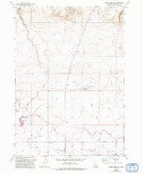
Little City of Rocks dominates the northern landscape of this Idaho interior, where the high desert terrain transitions into a complex system of drainage canyons and volcanic formations. The area's water management history is clearly legible in the southern reaches, where the North Main Gooding Canal, Union Ditch, and Robertson Ditch intersect to support regional agriculture. These man-made features contrast sharply with the natural seasonal hydrology of Thorn Creek and Turkey Creek.
Find a feature on this map
15 named features on this map. Tap any name to fly to it.
Don’t see what you’re looking for? This feature index may not catch every label — zoom into the map to look around manually.
Map Details
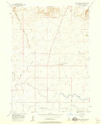
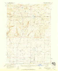
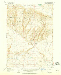
Editions of this 1957 Thorn Creek SW Map
3 editions found
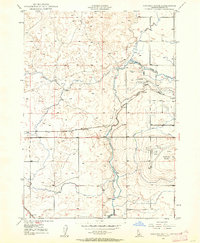
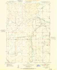
Other maps of this area
1949 · Gooding Butte
USGS Topo · 1:24,000
1950 · Gooding Butte
USGS Topo · 1:24,000

1955 · Twin Falls
USGS Topo · 1:250,000

1955 · Hailey
USGS Topo · 1:250,000
1957 · Thorn Creek SE
USGS Topo · 1:24,000
1957 · Thorn Creek SW
USGS Topo · 1:24,000
1957 · Thorn Creek
USGS Topo · 1:62,500
1957 · Davis Mountain
USGS Topo · 1:62,500

1958 · Twin Falls
USGS Topo · 1:250,000

1959 · Hailey
USGS Topo · 1:250,000